Transport Functions
Port
Road
Multimodal
Hub Profile
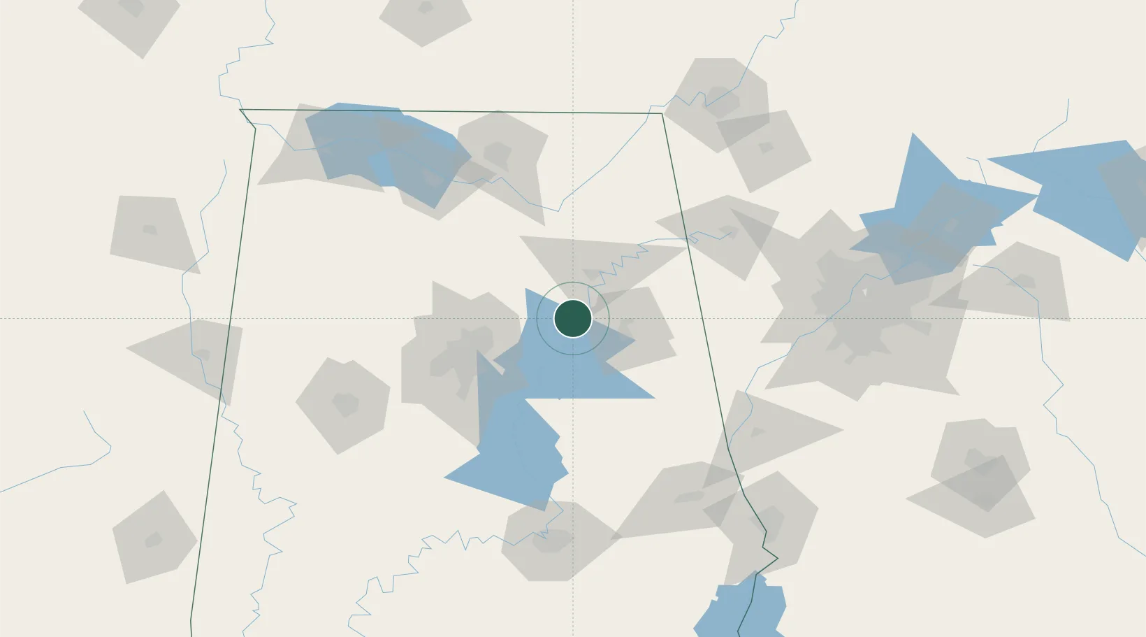
Place type
Populated place
Region
Alabama
Population
1,682
Time zone
America/Chicago
Elevation
171 m
Location
Nearby Logistics Neighbours
Cities
- 1Lincoln15 km
- 2Steele23 km
- 3Cropwell23 km
- 4Odenville24 km
- 5Wellington26 km
Ports
- 1Pensacola384 km
- 2Mobile386 km
- 3Port Of Memphis397 km
- 4Panama City403 km
- 5Pascagoula440 km
Airports
Trade Zones
- 1FTZ No. 098 Birmingham66 km
- 2FTZ No. 083 Huntsville116 km
- 3FTZ No. 270 Lawrence County123 km
- 4FTZ No. 265 Conroe (Montgomery County)127 km
- 5FTZ No. 222 Montgomery152 km
DatabookThe Record of Consolidated Knowledge
United States beyond logistics?