Transport Functions
Rail
Road
Multimodal
Hub Profile
Place type
Populated place
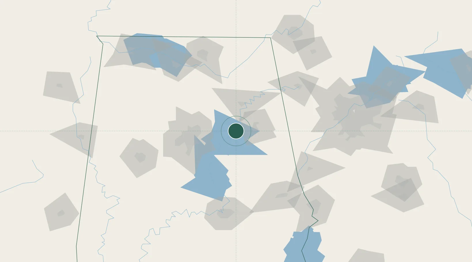
Region
Alabama
Population
6,524
Time zone
America/Chicago
Elevation
153 m
Location
Nearby Logistics Neighbours
Ports
- 1Pensacola371 km
- 2Mobile375 km
- 3Panama City388 km
- 4Port Of Memphis406 km
- 5Port St Joe427 km
Airports
Trade Zones
- 1FTZ No. 098 Birmingham65 km
- 2FTZ No. 083 Huntsville131 km
- 3FTZ No. 270 Lawrence County137 km
- 4FTZ No. 222 Montgomery138 km
- 5FTZ No. 265 Conroe (Montgomery County)141 km
DatabookThe Record of Consolidated Knowledge
United States beyond logistics?