Transport Functions
Multimodal
Hub Profile
Place type
Populated place
Region
Alabama
Time zone
America/Chicago
Elevation
166 m
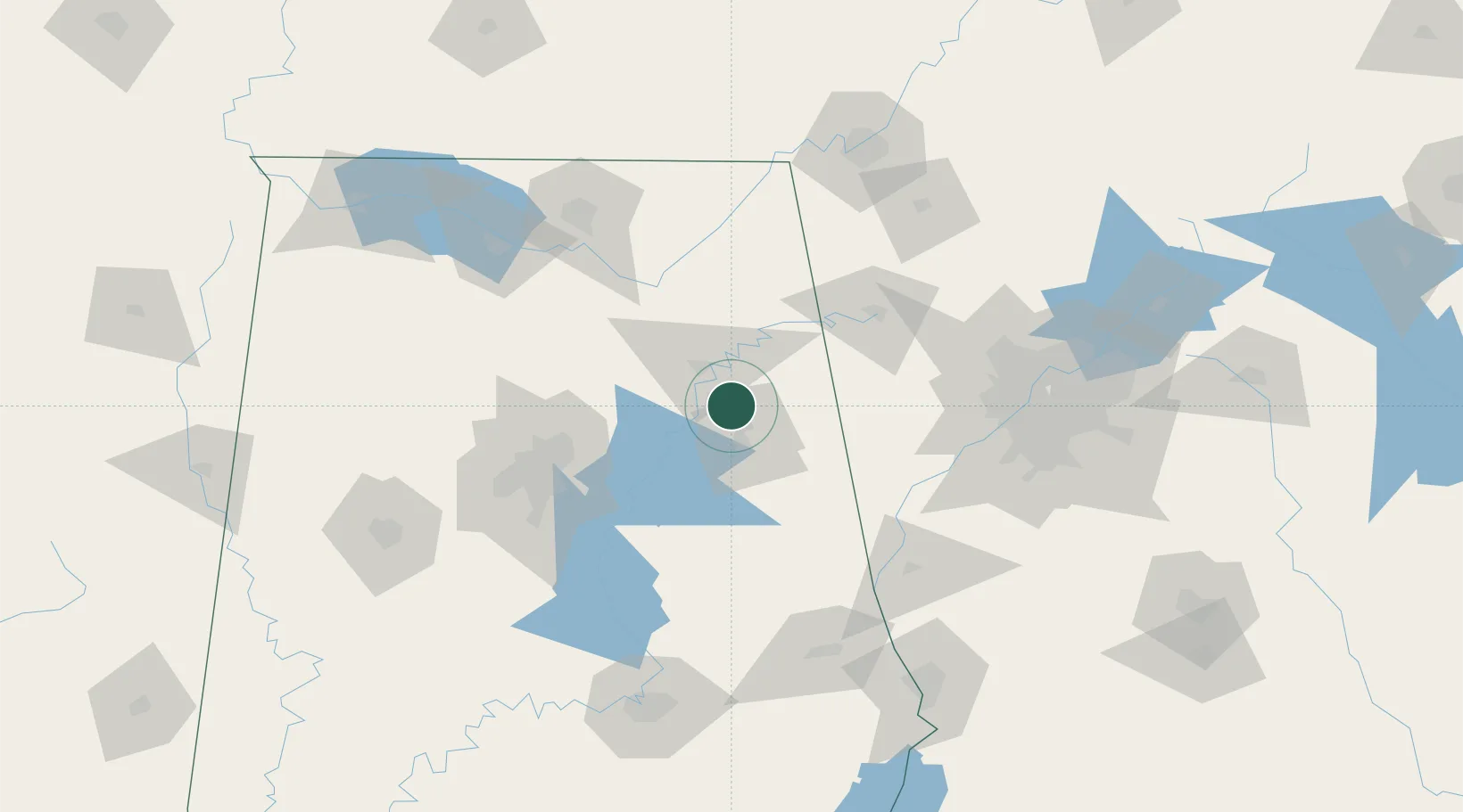
Location
Nearby Logistics Neighbours
Cities
- 1Glencoe15 km
- 2Rainbow City20 km
- 3Trinity26 km
- 4Ragland26 km
- 5Piedmont28 km
Ports
- 1Pensacola400 km
- 2Mobile407 km
- 3Panama City410 km
- 4Port St Joe448 km
- 5Carrabelle456 km
Airports
Trade Zones
- 1FTZ No. 098 Birmingham92 km
- 2FTZ No. 083 Huntsville123 km
- 3FTZ No. 270 Lawrence County132 km
- 4FTZ No. 265 Conroe (Montgomery County)136 km
- 5FTZ No. 026 Atlanta138 km
DatabookThe Record of Consolidated Knowledge
United States beyond logistics?