Medium airport · United States

Richard B Russell AirportKRMG
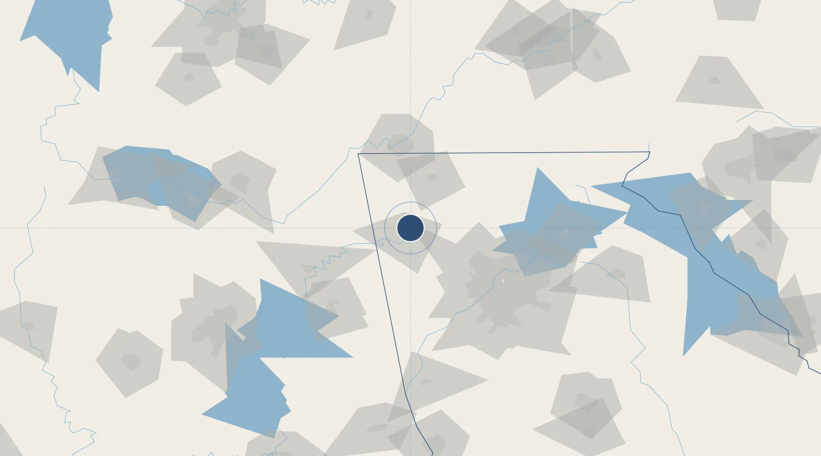
34.3506°, -85.1580°
7,010 ft
Longest runway
2
Runways
644 ft
Elevation

Runway & Layout

Richard B Russell Airport runway & taxiway layout
Runway & taxiway layout — OpenStreetMap (ODbL) / OurAirports

Radio Frequencies

ASOS
119.925 MHz
CNTR
133.8 MHz
ATLANTA CNTR
UNIC
123 MHz
CTAF/UNICOM
OurAirports

Navaids

OYD NDB Floyd 388 kHz
OurAirports

Runways · 2

RunwayDimensions SurfaceTrue headingLit
01/19 7,010 × 150ft Asphalt 005°
07/25 4,498 × 100ft Asphalt 070°
OurAirports

Airport Specifications

IATA code
RMG
OurAirports
ICAO code
KRMG
OurAirports
Airport class
Medium airport
OurAirports
Scheduled service
No
OurAirports
Runway surface
Asphalt
OurAirports
Served city
Rome
OurAirports

Location

Location of KRMG
Natural Earth 10m (public domain) · Georgia · KRMG · 34.35, -85.16GoogleOSMYandex

Nearby Logistics Neighbours

Airports
  1. 1Cobb County International Airport-McCollum Field64 km
  2. 2Chattanooga Metropolitan Airport (Lovell Field)76 km
  3. 3Dobbins Air Reserve Base76 km
  4. 4Fulton County Airport Brown Field87 km
  5. 5DeKalb Peachtree Airport95 km
Nearest neighbours — logibook spatial index (haversine) over the source coordinates
Cities
  1. 1Summerville21 km
  2. 2Lyerly23 km
  3. 3Glenwood24 km
  4. 4Sugar Valley27 km
  5. 5Cave Spring32 km
Nearest neighbours — logibook spatial index (haversine) over the source coordinates
Ports
  1. 1Savannah455 km
  2. 2Beaufort468 km
  3. 3Port Royal470 km
  4. 4Panama City471 km
  5. 5Pensacola480 km
Nearest neighbours — logibook spatial index (haversine) over the source coordinates
Trade Zones
  1. 1FTZ No. 134 Chattanooga86 km
  2. 2FTZ No. 026 Atlanta96 km
  3. 3FTZ No. 083 Huntsville151 km
  4. 4FTZ No. 270 Lawrence County164 km
  5. 5FTZ No. 265 Conroe (Montgomery County)169 km
Nearest neighbours — logibook spatial index (haversine) over the source coordinates
DatabookThe Record of Consolidated Knowledge
United States beyond logistics?
Browse databook

All Sources

AirportsOurAirports
Public domain
Portsthe NGA World Port Index
Public domain (US gov)
LocationsUN/LOCODE
UN/LOCODE — free
Trade Zonesthe World Bank SEZ database
CC BY 4.0
Trade ZonesOpen Zone Map
CC BY
InfrastructureOpenStreetMap
ODbL 1.0
← United States airports