UN/LOCODE hub · United States
USQOD
Odenville
33.6833°, -86.4000°
3,695
Population
2
Transport functions
Transport Functions
Rail
Road
Hub Profile
Place type
Populated place
Region
Alabama
Population
3,695
Time zone
America/Chicago
Elevation
225 m
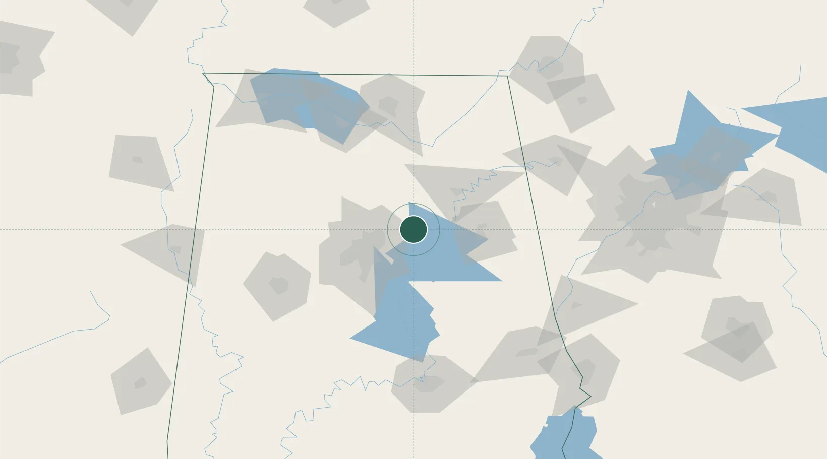
Location
Nearby Logistics Neighbours
Ports
- 1Mobile371 km
- 2Pensacola373 km
- 3Port Of Memphis378 km
- 4Panama City401 km
- 5Pascagoula423 km
Airports
Trade Zones
- 1FTZ No. 098 Birmingham42 km
- 2FTZ No. 083 Huntsville112 km
- 3FTZ No. 270 Lawrence County117 km
- 4FTZ No. 265 Conroe (Montgomery County)120 km
- 5FTZ No. 222 Montgomery146 km
DatabookThe Record of Consolidated Knowledge
United States beyond logistics?