Medium airport · United States

Huntsville International AirportKHSV
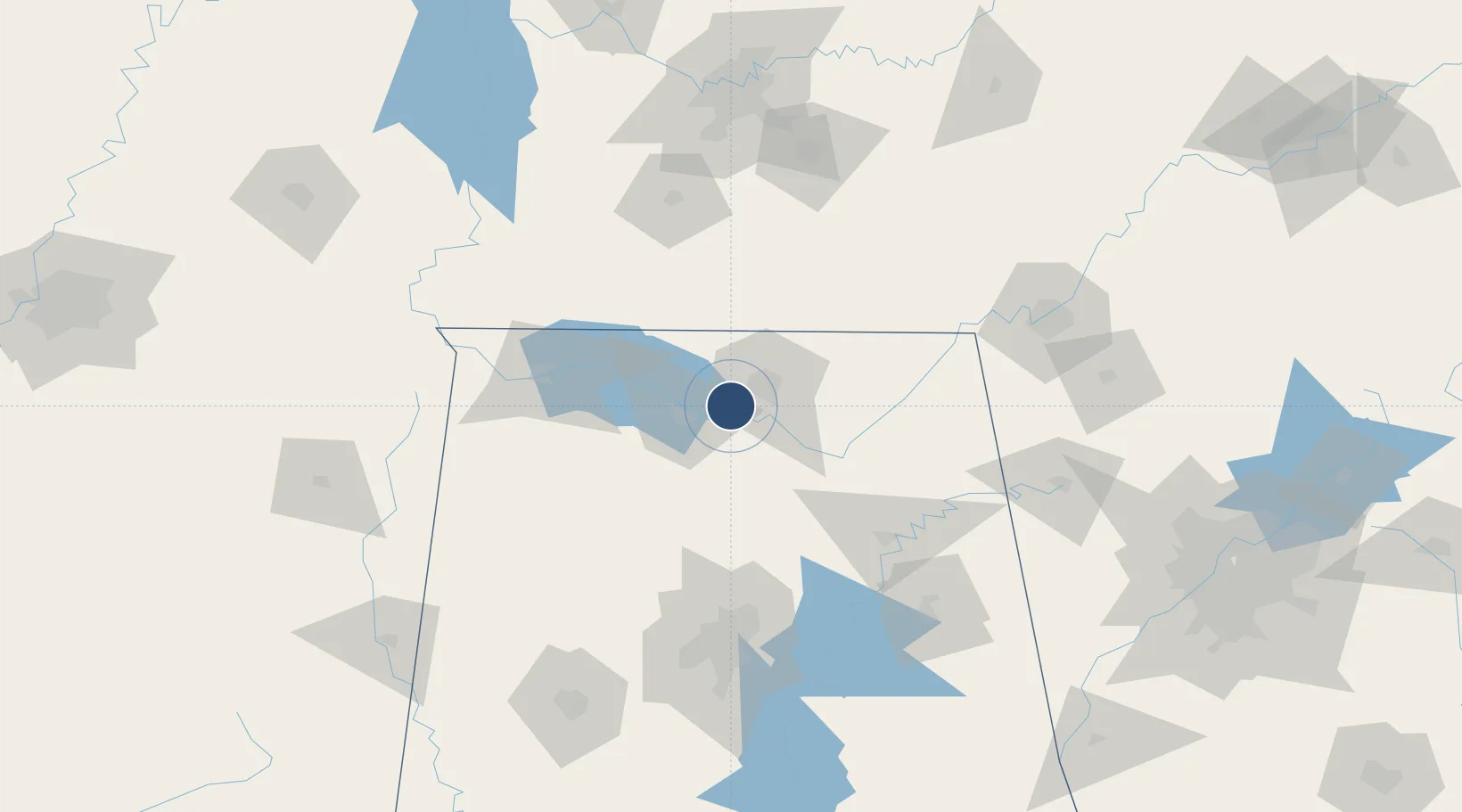
34.6362°, -86.7744°
12,600 ft
Longest runway
2
Runways
629 ft
Elevation

Runway & Layout

Huntsville International Airport runway & taxiway layout
Runway & taxiway layout — OpenStreetMap (ODbL) / OurAirports

Radio Frequencies

ATIS
121.25 MHz
TWR
127.6 MHz
GND
121.9 MHz
CLD
120.35 MHz
CLNC DEL
APP
118.05 MHz
DEP
118.05 MHz
CTAF
127.6 MHz
RDO
122.2 MHz
ANNISTON RDO
UNIC
122.95 MHz
UNICOM
OurAirports

Navaids

CWH NDB Capshaw 350 kHz
OurAirports

Runways · 2

RunwayDimensions SurfaceTrue headingLit
18R/36L 12,600 × 150ft Asphalt 181°
18L/36R 10,001 × 150ft Asphalt 181°
OurAirports

Airport Specifications

IATA code
HSV
OurAirports
ICAO code
KHSV
OurAirports
Airport class
Medium airport
OurAirports
Scheduled service
Yes
OurAirports
Runway surface
Asphalt
OurAirports
Served city
Huntsville
OurAirports

Location

Location of KHSV
Natural Earth 10m (public domain) · Alabama · KHSV · 34.64, -86.77GoogleOSMYandex

Nearby Logistics Neighbours

Airports
  1. 1Redstone Army Air Field10 km
  2. 2Northwest Alabama Regional Airport78 km
  3. 3Birmingham-Shuttlesworth International Airport119 km
  4. 4Anniston Regional Airport144 km
  5. 5Chattanooga Metropolitan Airport (Lovell Field)150 km
Nearest neighbours — logibook spatial index (haversine) over the source coordinates
Cities
  1. 1Belle Mina9 km
  2. 2Rainbow13 km
  3. 3Tanner21 km
  4. 4Georgia25 km
  5. 5Toney30 km
Nearest neighbours — logibook spatial index (haversine) over the source coordinates
Ports
  1. 1Port Of Memphis313 km
  2. 2Mobile457 km
  3. 3Pensacola473 km
  4. 4Pascagoula505 km
  5. 5Panama City512 km
Nearest neighbours — logibook spatial index (haversine) over the source coordinates
Trade Zones
  1. 1FTZ No. 083 Huntsville1 km
  2. 2FTZ No. 270 Lawrence County13 km
  3. 3FTZ No. 265 Conroe (Montgomery County)17 km
  4. 4FTZ No. 098 Birmingham124 km
  5. 5FTZ No. 134 Chattanooga137 km
Nearest neighbours — logibook spatial index (haversine) over the source coordinates
DatabookThe Record of Consolidated Knowledge
United States beyond logistics?
Browse databook

All Sources

AirportsOurAirports
Public domain
Portsthe NGA World Port Index
Public domain (US gov)
LocationsUN/LOCODE
UN/LOCODE — free
Trade Zonesthe World Bank SEZ database
CC BY 4.0
Trade ZonesOpen Zone Map
CC BY
InfrastructureOpenStreetMap
ODbL 1.0
← United States airports