UN/LOCODE hub · United States
USSXI

Steele

33.9358°, -86.1831°
1,078
Population
3
Transport functions

Transport Functions

Rail
Road
Multimodal
UN/LOCODE

Hub Profile

Place type
Populated place
GeoNames
Region
Alabama
GeoNames
Population
1,078
GeoNames
Time zone
America/Chicago
GeoNames
Elevation
177 m
GeoNames
Logistics facilities
1
UN/LOCODE

Location

Location of USSXI
Natural Earth 10m (public domain) · Alabama · USSXI · 33.94, -86.18GoogleOSMYandex

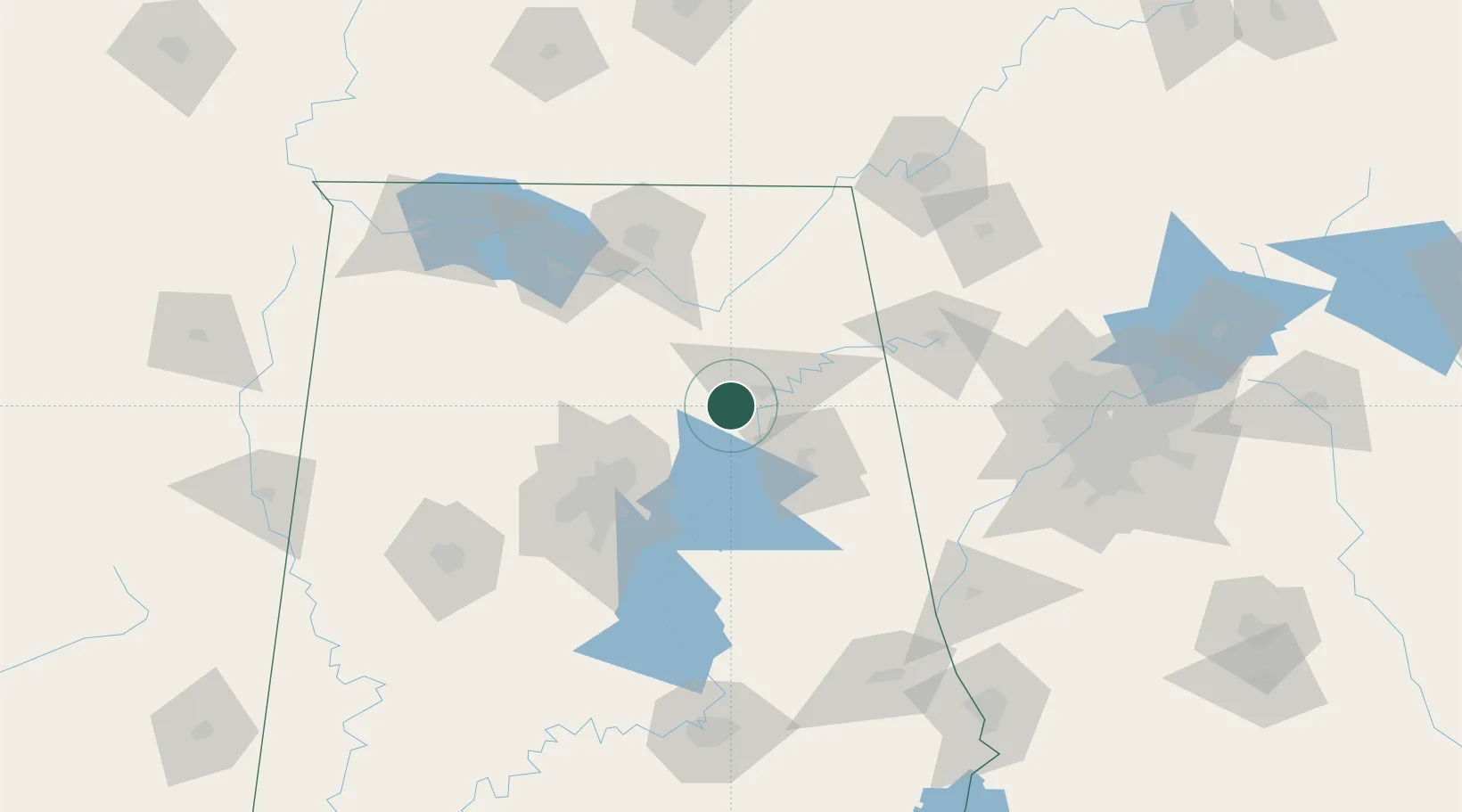
Nearby Logistics Neighbours

Cities
  1. 1Rainbow City14 km
  2. 2Ragland23 km
  3. 3Glencoe25 km
  4. 4Oneonta28 km
  5. 5Boaz30 km
Nearest neighbours — logibook spatial index (haversine) over the source coordinates
Ports
  1. 1Port Of Memphis386 km
  2. 2Mobile405 km
  3. 3Pensacola405 km
  4. 4Panama City426 km
  5. 5Pascagoula458 km
Nearest neighbours — logibook spatial index (haversine) over the source coordinates
Airports
  1. 1Anniston Regional Airport49 km
  2. 2Birmingham-Shuttlesworth International Airport67 km
  3. 3Redstone Army Air Field95 km
  4. 4Huntsville International Airport95 km
  5. 5Shelby County Airport101 km
Nearest neighbours — logibook spatial index (haversine) over the source coordinates
Trade Zones
  1. 1FTZ No. 098 Birmingham74 km
  2. 2FTZ No. 083 Huntsville95 km
  3. 3FTZ No. 270 Lawrence County103 km
  4. 4FTZ No. 265 Conroe (Montgomery County)108 km
  5. 5FTZ No. 134 Chattanooga149 km
Nearest neighbours — logibook spatial index (haversine) over the source coordinates
DatabookThe Record of Consolidated Knowledge
United States beyond logistics?
Browse databook

All Sources

LocationsUN/LOCODE
UN/LOCODE — free
LocationsGeoNames
CC BY 4.0
Portsthe NGA World Port Index
Public domain (US gov)
AirportsOurAirports
Public domain
Trade Zonesthe World Bank SEZ database
CC BY 4.0
Trade ZonesOpen Zone Map
CC BY
← United States locations