Transport Functions
Rail
Road
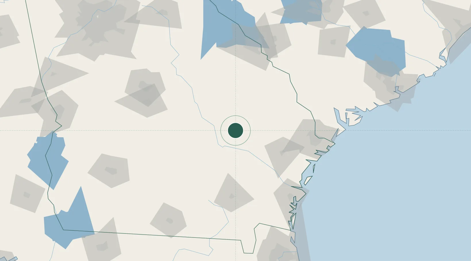
Hub Profile
Place type
Provincial seat
Region
Georgia
Population
4,375
Time zone
America/New_York
Elevation
73 m
Location
Nearby Logistics Neighbours
Cities
- 1Rock Springs17 km
- 2Collins19 km
- 3Ailey24 km
- 4Stillmore28 km
- 5Hazlehurst45 km
Ports
- 1Savannah117 km
- 2Darien125 km
- 3Brunswick140 km
- 4Port Royal155 km
- 5Beaufort157 km
Airports
Trade Zones
- 1FTZ No. 104 Savannah116 km
- 2FTZ No. 144 Brunswick140 km
- 3FTZ No. 021 Dorchester County179 km
- 4FTZ No. 064 Jacksonville209 km
- 5FTZ No. 127 West Columbia228 km
DatabookThe Record of Consolidated Knowledge
United States beyond logistics?