Medium airport · United States
Augusta Regional At Bush FieldKAGS
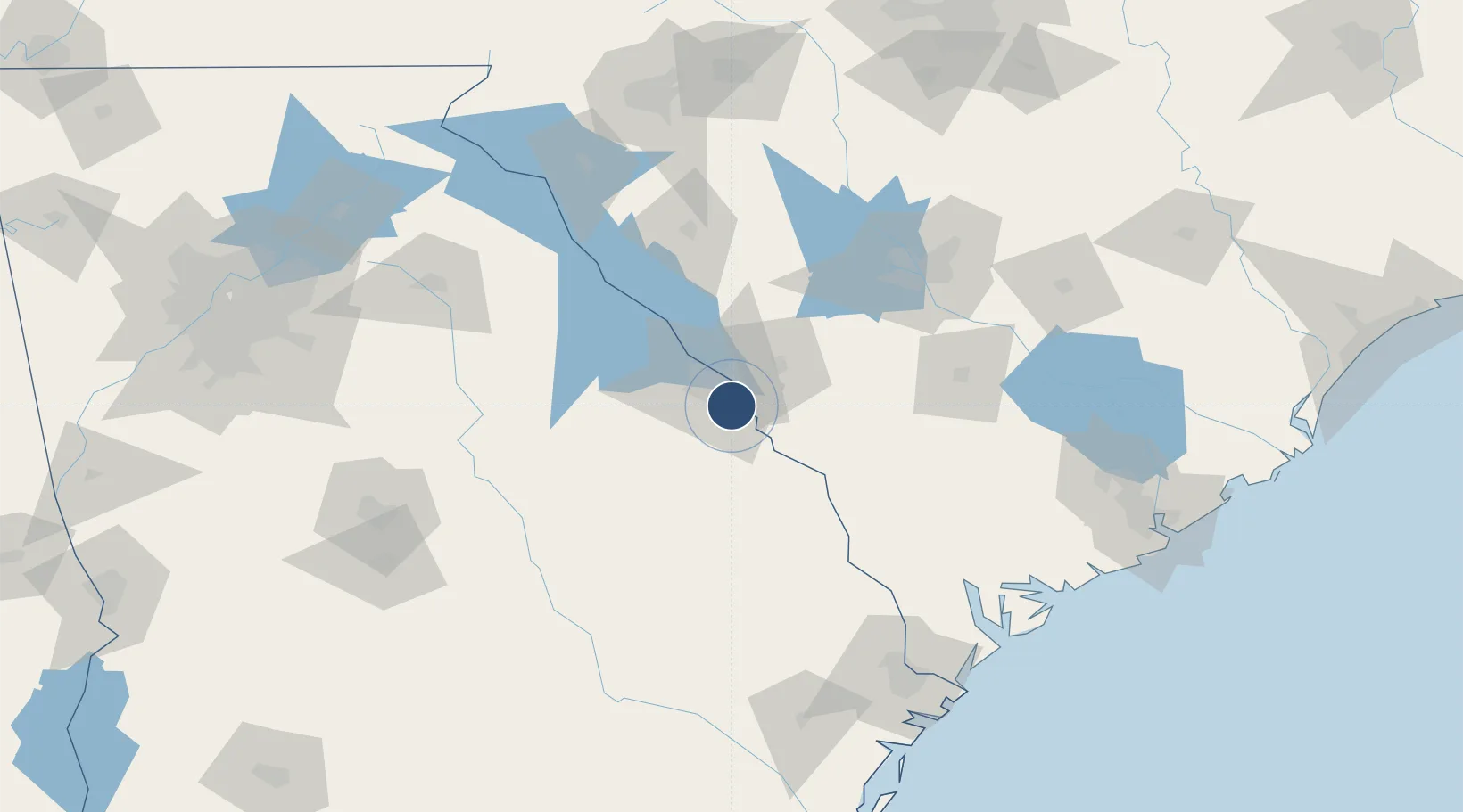
33.3699°, -81.9645°
8,001 ft
Longest runway
2
Runways
144 ft
Elevation
Runway & Layout

Radio Frequencies
ATIS
132.75 MHz
TWR
118.7 MHz
GND
121.9 MHz
CTAF
118.7 MHz
A/D
119.15 MHz
APP/DEP
UNIC
122.95 MHz
UNICOM
Navaids
AG NDB Bushe 233 kHz
EMR NDB Emory 385 kHz
IRQ VORTAC Colliers 113.90 MHz
Runways · 2
| Runway | Dimensions | Surface | True heading | Lit |
|---|---|---|---|---|
| 17/35 | 8,001 × 150ft | Asphalt | 168° | ✓ |
| 08/26 | 6,001 × 75ft | Asphalt | 078° | ✓ |
Airport Specifications
IATA code
AGS
ICAO code
KAGS
Airport class
Medium airport
Scheduled service
Yes
Runway surface
Asphalt
Served city
Augusta
Location
Nearby Logistics Neighbours
Airports
- 1Daniel Field13 km
- 2Columbia Metropolitan Airport100 km
- 3Orangeburg Municipal Airport103 km
- 4Jim Hamilton L.B. Owens Airport112 km
- 5Mc Entire Joint National Guard Base124 km
Cities
- 1North Augusta11 km
- 2Fort Gordon18 km
- 3Martinez19 km
- 4Grovetown24 km
- 5Dearing39 km
Ports
- 1Beaufort160 km
- 2Port Royal164 km
- 3Savannah165 km
- 4Charleston202 km
- 5Darien228 km
Trade Zones
- 1FTZ No. 127 West Columbia104 km
- 2FTZ No. 021 Dorchester County121 km
- 3FTZ No. 104 Savannah164 km
- 4FTZ No. 038 Spartanburg County171 km
- 5FTZ No. 057 Mecklenburg County225 km
DatabookThe Record of Consolidated Knowledge
United States beyond logistics?