Transport Functions
Port
Road
Multimodal
Hub Profile
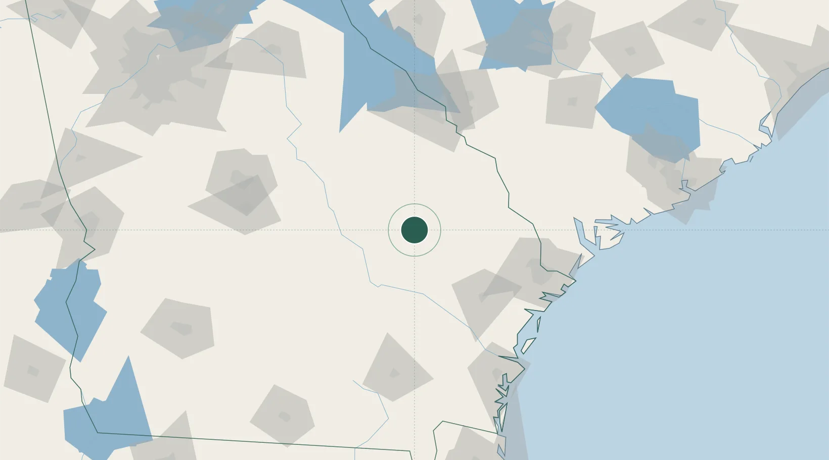
Place type
Populated place
Region
Georgia
Population
528
Time zone
America/New_York
Elevation
81 m
Location
Nearby Logistics Neighbours
Cities
- 1Lyons28 km
- 2Collins29 km
- 3Ailey44 km
- 4Rock Springs45 km
- 5Brooklet52 km
Ports
- 1Savannah112 km
- 2Darien139 km
- 3Port Royal143 km
- 4Beaufort144 km
- 5Brunswick157 km
Airports
- 1Savannah Hilton Head International Airport100 km
- 2Augusta Regional At Bush Field106 km
- 3Hunter Army Air Field110 km
- 4Daniel Field116 km
- 5Robins Air Force Base133 km
Trade Zones
- 1FTZ No. 104 Savannah111 km
- 2FTZ No. 021 Dorchester County156 km
- 3FTZ No. 144 Brunswick157 km
- 4FTZ No. 127 West Columbia200 km
- 5FTZ No. 064 Jacksonville233 km
DatabookThe Record of Consolidated Knowledge
United States beyond logistics?