Transport Functions
Rail
Road
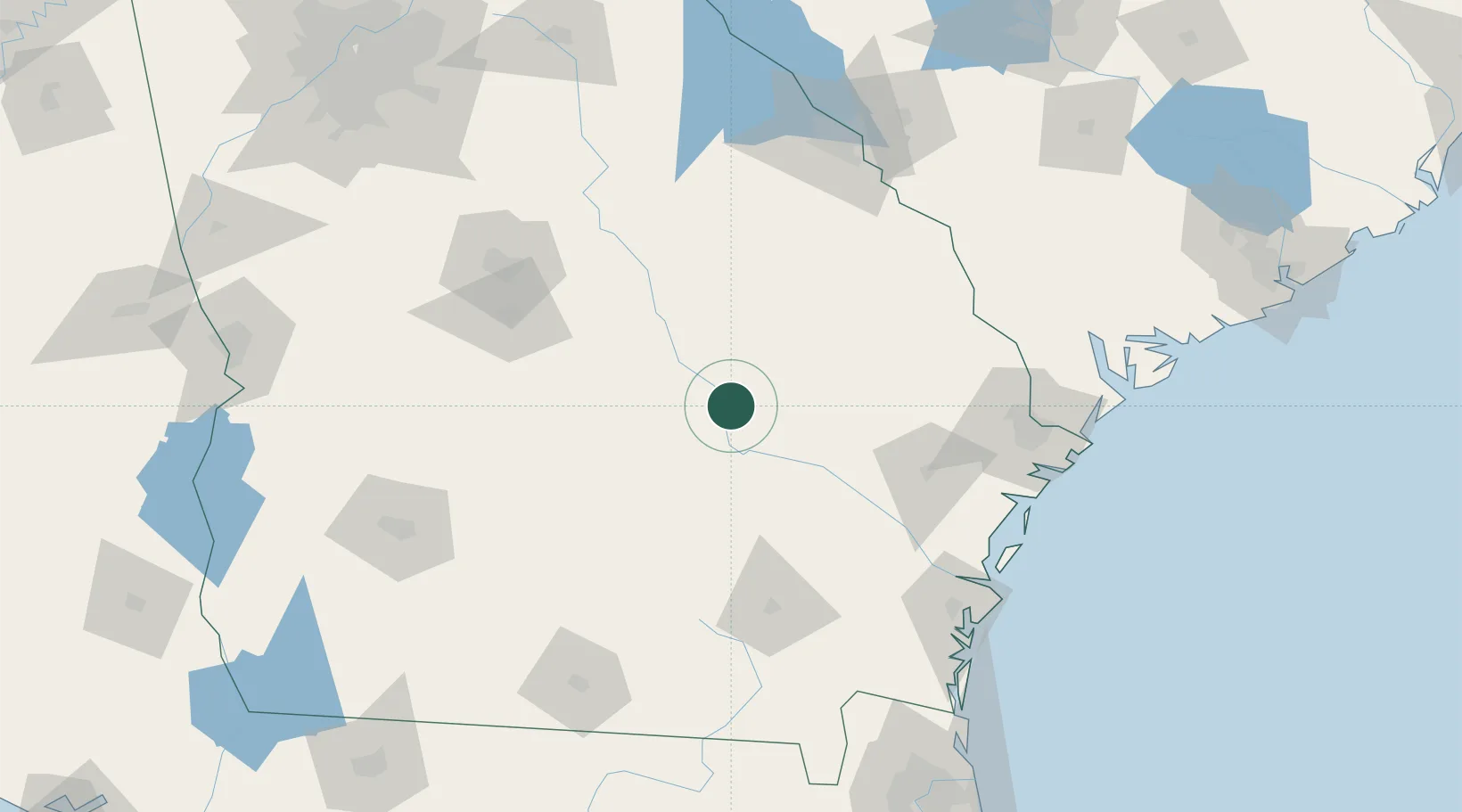
Hub Profile
Place type
Populated place
Region
Georgia
Population
552
Time zone
America/New_York
Elevation
75 m
Location
Nearby Logistics Neighbours
Cities
- 1Rock Springs20 km
- 2Lyons24 km
- 3Hazlehurst35 km
- 4Graham41 km
- 5Collins42 km
Ports
- 1Savannah140 km
- 2Darien140 km
- 3Brunswick153 km
- 4Port Royal178 km
- 5Beaufort181 km
Airports
Trade Zones
- 1FTZ No. 104 Savannah139 km
- 2FTZ No. 144 Brunswick153 km
- 3FTZ No. 021 Dorchester County200 km
- 4FTZ No. 064 Jacksonville212 km
- 5FTZ No. 127 West Columbia242 km
DatabookThe Record of Consolidated Knowledge
United States beyond logistics?