Transport Functions
Rail
Road
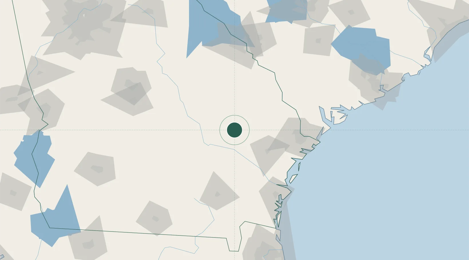
Hub Profile
Place type
Populated place
Region
Georgia
Population
582
Time zone
America/New_York
Elevation
71 m
Location
Nearby Logistics Neighbours
Cities
- 1Lyons19 km
- 2Stillmore29 km
- 3Rock Springs30 km
- 4Glennville34 km
- 5Ailey42 km
Ports
- 1Savannah98 km
- 2Darien111 km
- 3Brunswick129 km
- 4Port Royal136 km
- 5Beaufort139 km
Airports
Trade Zones
- 1FTZ No. 104 Savannah97 km
- 2FTZ No. 144 Brunswick129 km
- 3FTZ No. 021 Dorchester County165 km
- 4FTZ No. 064 Jacksonville205 km
- 5FTZ No. 127 West Columbia221 km
DatabookThe Record of Consolidated Knowledge
United States beyond logistics?