Transport Functions
Road
Multimodal
Hub Profile
Place type
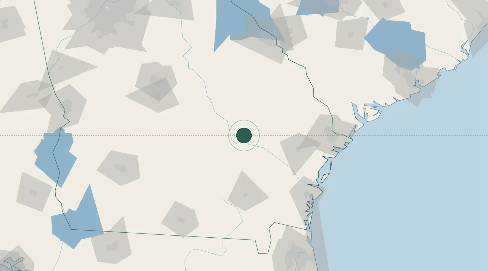
Populated place
Region
Georgia
Time zone
America/New_York
Elevation
67 m
Location
Nearby Logistics Neighbours
Cities
- 1Lyons17 km
- 2Ailey20 km
- 3Hazlehurst28 km
- 4Graham29 km
- 5Collins30 km
Ports
- 1Darien120 km
- 2Savannah124 km
- 3Brunswick133 km
- 4Port Royal165 km
- 5Beaufort168 km
Airports
Trade Zones
- 1FTZ No. 104 Savannah123 km
- 2FTZ No. 144 Brunswick133 km
- 3FTZ No. 021 Dorchester County194 km
- 4FTZ No. 064 Jacksonville196 km
- 5FTZ No. 127 West Columbia245 km
DatabookThe Record of Consolidated Knowledge
United States beyond logistics?