Medium airport · United States
Robins Air Force BaseKWRB
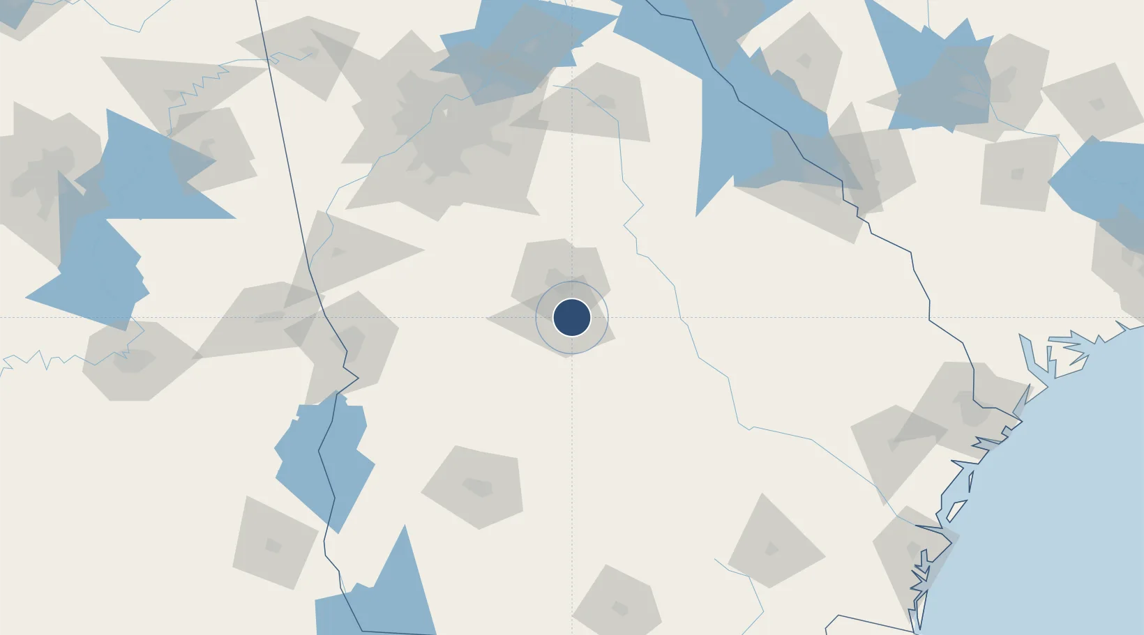
32.6401°, -83.5919°
12,001 ft
Longest runway
1
Runways
294 ft
Elevation
Runway & Layout

Radio Frequencies
ATIS
119.475 MHz
TWR
133.225 MHz
GND
121.85 MHz
CLD
31.1 MHz
ACC COMD POST
A/D
119.6 MHz
ATLANTA APP/DEP
INFO
22.592 MHz
MAINT CTL CNTR
MISC
37.217 MHz
AFRC COMD POST
PMSV
34.985 MHz
PMSV METRO
POST
29.352 MHz
116 ANG OPS
PTD
134.1 MHz
Runways · 1
| Runway | Dimensions | Surface | True heading | Lit |
|---|---|---|---|---|
| 15/33 | 12,001 × 300ft | Asphalt / concrete | 144° | ✓ |
Airport Specifications
IATA code
WRB
ICAO code
KWRB
Airport class
Medium airport
Scheduled service
No
Runway surface
Asphalt / concrete
Served city
Warner Robins
Location
Nearby Logistics Neighbours
Airports
Cities
- 1Clinchfield25 km
- 2Bonaire30 km
- 3Pitts32 km
- 4Cochran37 km
- 5Knoxville38 km
Ports
- 1Savannah244 km
- 2Darien248 km
- 3Brunswick258 km
- 4Port Royal274 km
- 5Beaufort275 km
Trade Zones
- 1FTZ No. 026 Atlanta145 km
- 2FTZ No. 233 Dothan234 km
- 3FTZ No. 104 Savannah242 km
- 4FTZ No. 222 Montgomery257 km
- 5FTZ No. 144 Brunswick258 km
DatabookThe Record of Consolidated Knowledge
United States beyond logistics?