UN/LOCODE hub · United States
USHZH
Hazlehurst
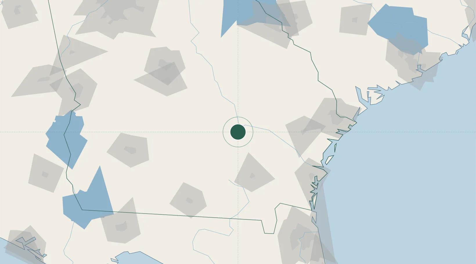
31.8667°, -82.5833°
4,196
Population
2
Transport functions
Transport Functions
Rail
Road
Hub Profile
Place type
Provincial seat
Region
Georgia
Population
4,196
Time zone
America/New_York
Elevation
77 m
Location
Nearby Logistics Neighbours
Cities
- 1Graham10 km
- 2Denton19 km
- 3Rock Springs28 km
- 4Ailey35 km
- 5Nicholls39 km
Ports
- 1Darien122 km
- 2Brunswick130 km
- 3Savannah144 km
- 4Fernandina Beach169 km
- 5Port Royal187 km
Airports
Trade Zones
- 1FTZ No. 144 Brunswick130 km
- 2FTZ No. 104 Savannah143 km
- 3FTZ No. 064 Jacksonville179 km
- 4FTZ No. 021 Dorchester County221 km
- 5FTZ No. 026 Atlanta270 km
DatabookThe Record of Consolidated Knowledge
United States beyond logistics?