UN/LOCODE hub · United States
US5VI
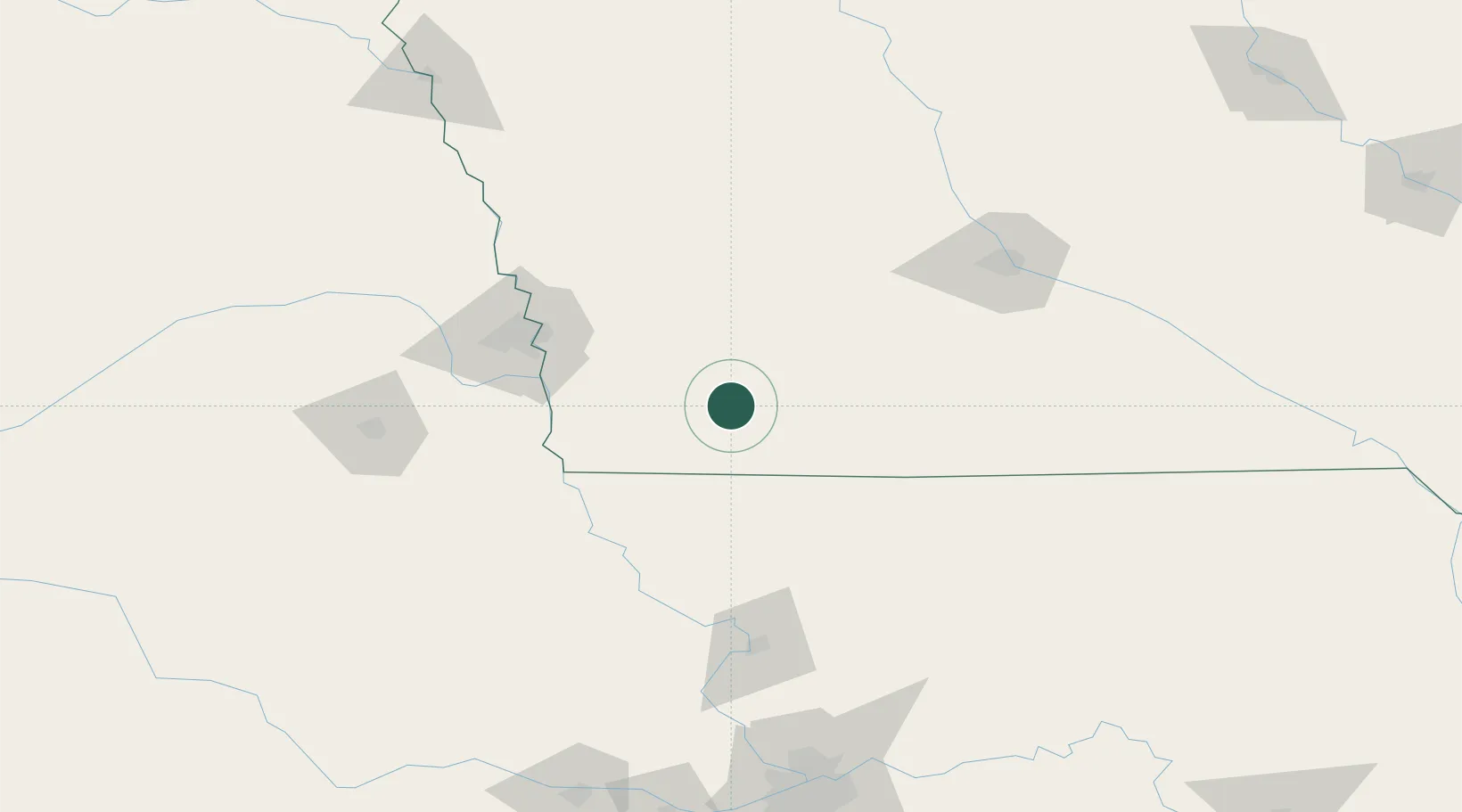
Villisca
40.9167°, -94.9667°
1,194
Population
2
Transport functions
Transport Functions
Rail
Road
Hub Profile
Place type
Populated place
Region
Iowa
Population
1,194
Time zone
America/Chicago
Elevation
328 m
Location
Nearby Logistics Neighbours
Cities
- 1Red Oak23 km
- 2New Market23 km
- 3Lenox34 km
- 4Emerson38 km
- 5Farragut49 km
Airports
- 1Offutt Air Force Base82 km
- 2Eppley Airfield89 km
- 3Rosecrans Memorial Airport127 km
- 4Des Moines International Airport129 km
- 5Lincoln Airport151 km
Trade Zones
- 1FTZ No. 107 Polk County134 km
- 2FTZ No. 133 Quad-Cities, Iowa Illinois143 km
- 3FTZ No. 059 Lincoln157 km
- 4FTZ No. 017 Kansas City203 km
- 5FTZ No. 015 Kansas City231 km
DatabookThe Record of Consolidated Knowledge
United States beyond logistics?