Large airport · United States
Des Moines International AirportKDSM
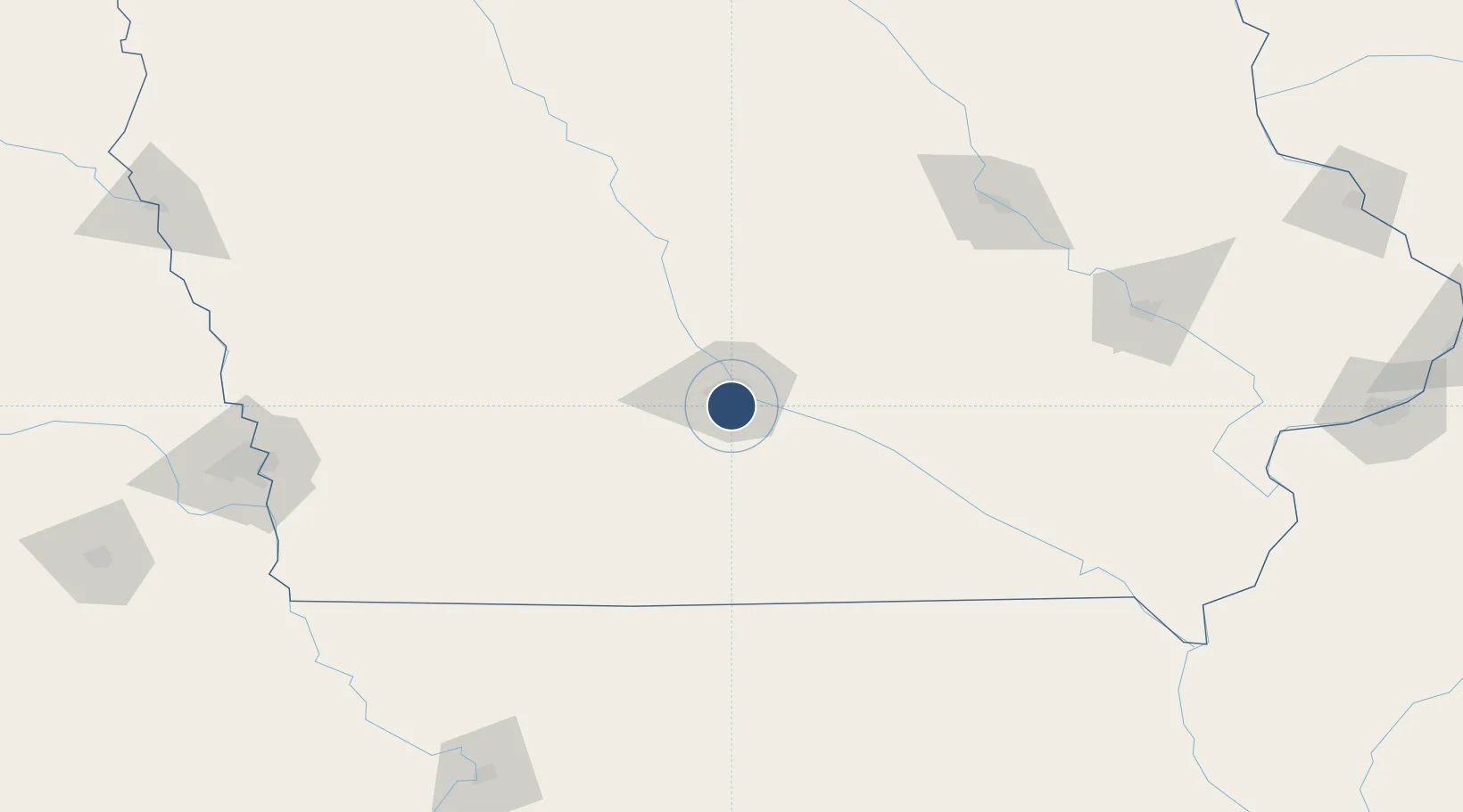
41.5340°, -93.6567°
9,004 ft
Longest runway
2
Runways
958 ft
Elevation
Runway & Layout

Radio Frequencies
ATIS
119.55 MHz
TWR
118.3 MHz
GND
121.9 MHz
CLD
134.15 MHz
CLNC DEL
A/D
118.6 MHz
APP/DEP
OPS
138.15 MHz
ANG OPS MAINT
RDO
122.65 MHz
FORT DODGE RDO
UNIC
122.95 MHz
UNICOM
Navaids
DS NDB Forem 344 kHz
DSM VORTAC Des Moines 117.50 MHz
Runways · 2
| Runway | Dimensions | Surface | True heading | Lit |
|---|---|---|---|---|
| 05/23 | 9,004 × 150ft | Asphalt | 054° | ✓ |
| 13/31 | 9,001 × 150ft | Asphalt | 132° | ✓ |
Airport Specifications
IATA code
DSM
ICAO code
KDSM
Airport class
Large airport
Scheduled service
Yes
Runway surface
Asphalt
Served city
Des Moines
Location
Nearby Logistics Neighbours
Airports
- 1Ottumwa Regional Airport111 km
- 2Fort Dodge Regional Airport122 km
- 3Waterloo Regional Airport154 km
- 4The Eastern Iowa Airport166 km
- 5Mason City Municipal Airport183 km
Cities
- 1Clive9 km
- 2Pleasant Hill13 km
- 3Des Moines14 km
- 4Johnston15 km
- 5Elkhart15 km
Ports
- 1Great Lakes489 km
- 2Waukegan492 km
- 3Kenosha496 km
- 4Wilmette499 km
- 5Racine502 km
Trade Zones
- 1FTZ No. 107 Polk County16 km
- 2FTZ No. 175 Cedar Rapids161 km
- 3FTZ No. 055 Burlington229 km
- 4FTZ No. 288 Northwest Iowa269 km
- 5FTZ No. 133 Quad-Cities, Iowa Illinois272 km
DatabookThe Record of Consolidated Knowledge
United States beyond logistics?