Transport Functions
Port
Road
Hub Profile
Place type
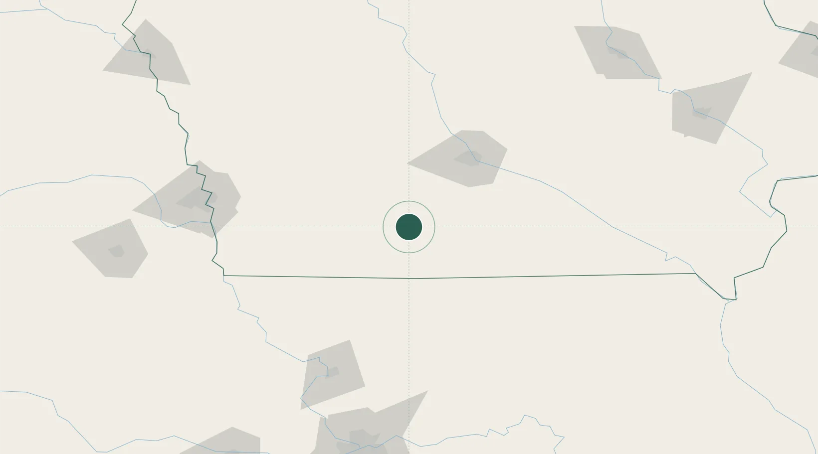
Populated place
Region
Iowa
Population
829
Time zone
America/Chicago
Elevation
378 m
Location
Nearby Logistics Neighbours
Airports
- 1Des Moines International Airport72 km
- 2Offutt Air Force Base145 km
- 3Ottumwa Regional Airport146 km
- 4Eppley Airfield147 km
- 5Rosecrans Memorial Airport152 km
Trade Zones
- 1FTZ No. 107 Polk County83 km
- 2FTZ No. 133 Quad-Cities, Iowa Illinois205 km
- 3FTZ No. 017 Kansas City222 km
- 4FTZ No. 059 Lincoln224 km
- 5FTZ No. 175 Cedar Rapids225 km
DatabookThe Record of Consolidated Knowledge
United States beyond logistics?