Transport Functions
Rail
Road
Hub Profile
Place type
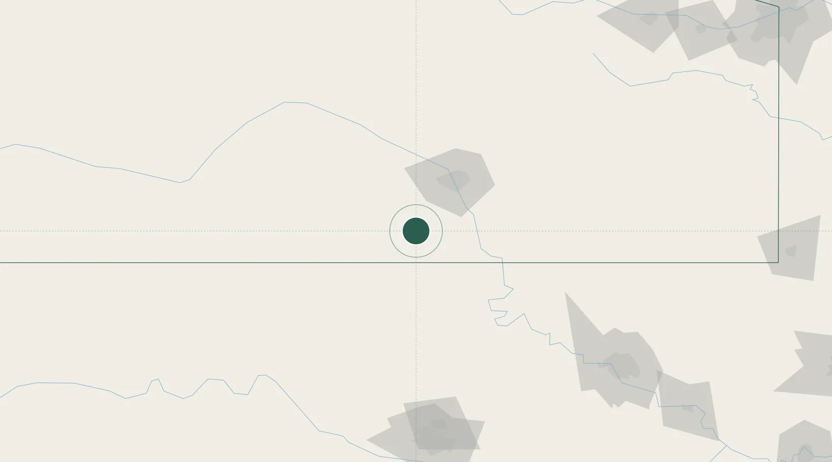
Populated place
Region
Kansas
Population
80
Time zone
America/Chicago
Elevation
373 m
Location
Nearby Logistics Neighbours
Cities
- 1Danville19 km
- 2Wellington27 km
- 3Caldwell28 km
- 4Cheney42 km
- 5Goddard44 km
Ports
- 1Port Of Memphis716 km
- 2Deer Park863 km
- 3Houston864 km
- 4Beaumont865 km
- 5Pasadena870 km
Airports
Trade Zones
- 1FTZ No. 161 Sedgwick County48 km
- 2FTZ No. 053 Rogers County192 km
- 3FTZ No. 106 Oklahoma City200 km
- 4FTZ No. 164 Muskogee262 km
- 5FTZ No. 015 Kansas City299 km
DatabookThe Record of Consolidated Knowledge
United States beyond logistics?