Transport Functions
Rail
Road
Hub Profile
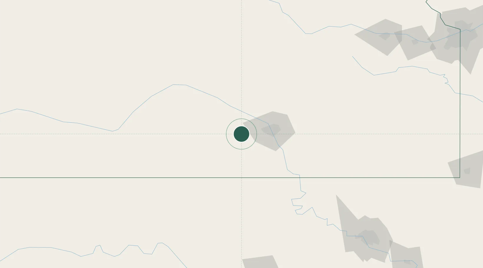
Place type
Populated place
Region
Kansas
Population
2,159
Time zone
America/Chicago
Elevation
423 m
Location
Nearby Logistics Neighbours
Cities
- 1Saint Marys15 km
- 2Goddard19 km
- 3Kingman28 km
- 4Haven30 km
- 5Danville40 km
Ports
- 1Port Of Memphis739 km
- 2Deer Park905 km
- 3Beaumont906 km
- 4Houston907 km
- 5Pasadena912 km
Airports
Trade Zones
- 1FTZ No. 161 Sedgwick County7 km
- 2FTZ No. 053 Rogers County224 km
- 3FTZ No. 106 Oklahoma City242 km
- 4FTZ No. 015 Kansas City286 km
- 5FTZ No. 164 Muskogee297 km
DatabookThe Record of Consolidated Knowledge
United States beyond logistics?