UN/LOCODE hub · United States
USWEX
Wellington
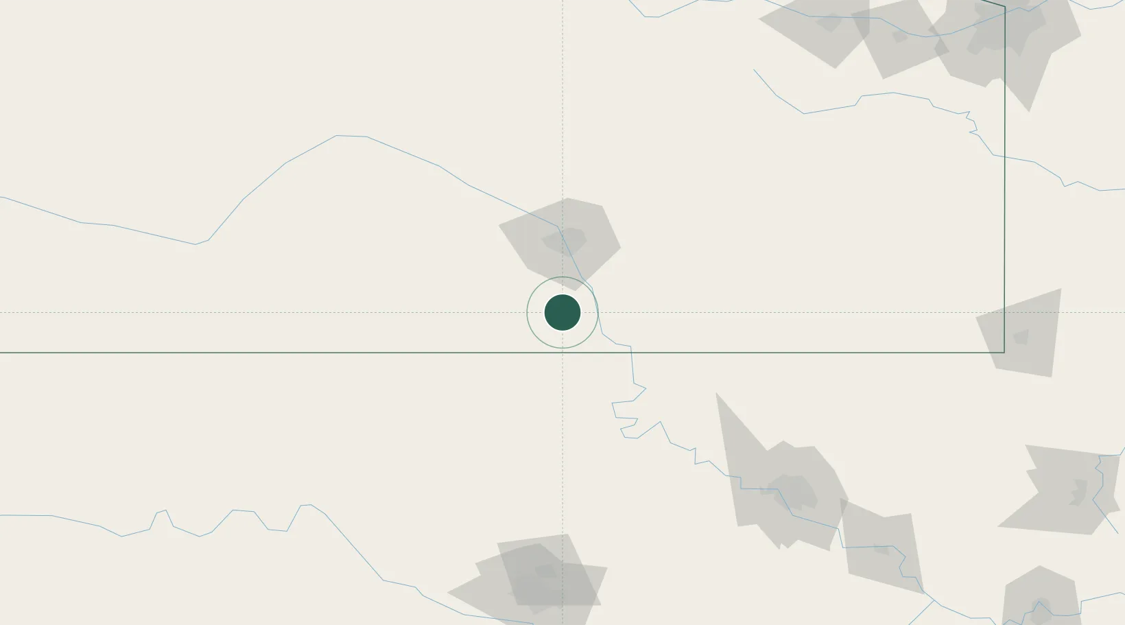
37.2500°, -97.3667°
7,987
Population
2
Transport functions
Transport Functions
Rail
Road
Hub Profile
Place type
Provincial seat
Region
Kansas
Population
7,987
Time zone
America/Chicago
Elevation
375 m
Location
Nearby Logistics Neighbours
Ports
- 1Port Of Memphis690 km
- 2Beaumont853 km
- 3Deer Park855 km
- 4Houston856 km
- 5Pasadena861 km
Airports
Trade Zones
- 1FTZ No. 161 Sedgwick County60 km
- 2FTZ No. 053 Rogers County169 km
- 3FTZ No. 106 Oklahoma City199 km
- 4FTZ No. 164 Muskogee241 km
- 5FTZ No. 015 Kansas City279 km
DatabookThe Record of Consolidated Knowledge
United States beyond logistics?