UN/LOCODE hub · United States
USDWL
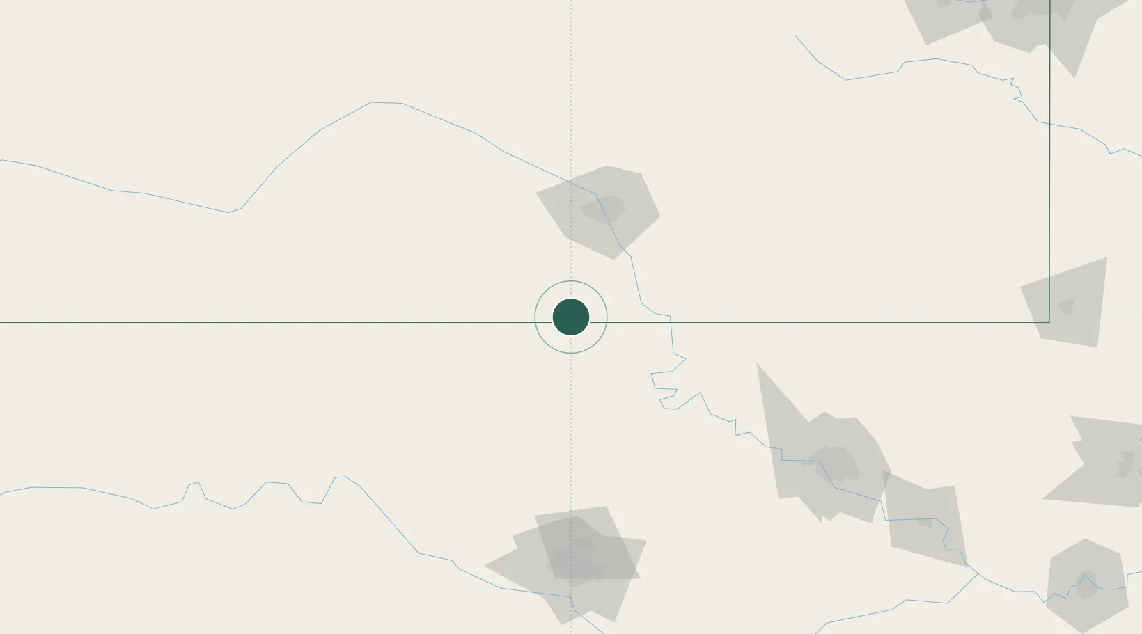
Caldwell
37.0333°, -97.5500°
1,030
Population
2
Transport functions
Transport Functions
Road
Multimodal
Hub Profile
Place type
Populated place
Region
Kansas
Population
1,030
Time zone
America/Chicago
Elevation
348 m
Location
Nearby Logistics Neighbours
Cities
- 1Braman23 km
- 2Milan28 km
- 3Wellington29 km
- 4Danville41 km
- 5Manchester43 km
Ports
- 1Port Of Memphis699 km
- 2Deer Park836 km
- 3Houston837 km
- 4Beaumont837 km
- 5Pasadena842 km
Airports
Trade Zones
- 1FTZ No. 161 Sedgwick County76 km
- 2FTZ No. 053 Rogers County170 km
- 3FTZ No. 106 Oklahoma City174 km
- 4FTZ No. 164 Muskogee238 km
- 5FTZ No. 015 Kansas City307 km
DatabookThe Record of Consolidated Knowledge
United States beyond logistics?