Transport Functions
Rail
Road
Multimodal
Hub Profile
Place type
Populated place
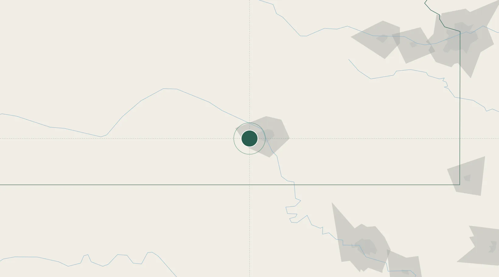
Region
Kansas
Population
4,719
Time zone
America/Chicago
Elevation
446 m
Location
Nearby Logistics Neighbours
Cities
- 1Saint Marys8 km
- 2Cheney19 km
- 3Haven34 km
- 4Mulvane36 km
- 5Andover39 km
Ports
- 1Port Of Memphis722 km
- 2Beaumont901 km
- 3Deer Park902 km
- 4Houston903 km
- 5Pasadena909 km
Airports
Trade Zones
- 1FTZ No. 161 Sedgwick County18 km
- 2FTZ No. 053 Rogers County211 km
- 3FTZ No. 106 Oklahoma City243 km
- 4FTZ No. 015 Kansas City268 km
- 5FTZ No. 164 Muskogee285 km
DatabookThe Record of Consolidated Knowledge
United States beyond logistics?