Medium airport · United States
Wichita Dwight D. Eisenhower National AirportKICT
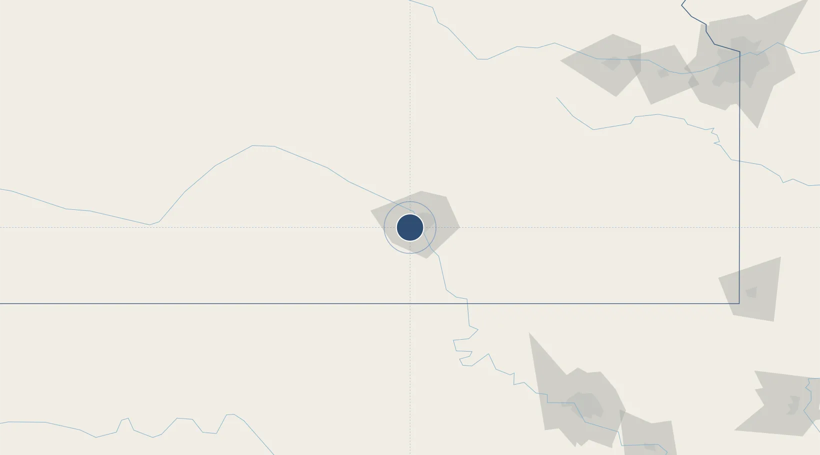
37.6503°, -97.4286°
10,302 ft
Longest runway
3
Runways
1,333 ft
Elevation
Runway & Layout

Radio Frequencies
ATIS
125.15 MHz
TWR
118.2 MHz
GND
121.9 MHz
CLD
125.7 MHz
CLNC DEL
APP
32.71 MHz
APP
125.5 MHz
DEP
126.7 MHz
RDO
122.2 MHz
UNIC
122.95 MHz
UNICOM
Navaids
IC NDB Piche 332 kHz
ICT VORTAC Wichita 113.80 MHz
Runways · 3
| Runway | Dimensions | Surface | True heading | Lit |
|---|---|---|---|---|
| 01L/19R | 10,302 × 150ft | Concrete | 020° | ✓ |
| 01R/19L | 7,302 × 150ft | Concrete | 020° | ✓ |
| 14/32 | 6,301 × 150ft | Concrete | 150° | ✓ |
Airport Specifications
IATA code
ICT
ICAO code
KICT
Airport class
Medium airport
Scheduled service
Yes
Runway surface
Concrete
Served city
Wichita
Location
Nearby Logistics Neighbours
Airports
- 1McConnell Air Force Base15 km
- 2Hutchinson Municipal Airport60 km
- 3Ponca City Regional Airport106 km
- 4Salina Municipal Airport128 km
- 5Vance Air Force Base152 km
Cities
- 1Goddard12 km
- 2Saint Marys19 km
- 3Andover27 km
- 4Mulvane27 km
- 5Cheney31 km
Ports
- 1Port Of Memphis711 km
- 2Beaumont896 km
- 3Deer Park900 km
- 4Houston901 km
- 5Pasadena906 km
Trade Zones
- 1FTZ No. 161 Sedgwick County30 km
- 2FTZ No. 053 Rogers County202 km
- 3FTZ No. 106 Oklahoma City243 km
- 4FTZ No. 015 Kansas City258 km
- 5FTZ No. 017 Kansas City276 km
DatabookThe Record of Consolidated Knowledge
United States beyond logistics?