Transport Functions
Rail
Road
Hub Profile
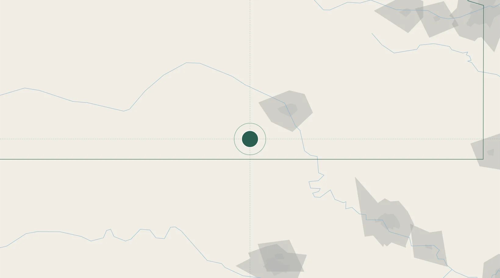
Place type
Populated place
Region
Kansas
Population
36
Time zone
America/Chicago
Elevation
408 m
Location
Nearby Logistics Neighbours
Cities
- 1Milan19 km
- 2Manchester34 km
- 3Cheney40 km
- 4Caldwell41 km
- 5Kingman43 km
Ports
- 1Port Of Memphis735 km
- 2Deer Park870 km
- 3Houston872 km
- 4Beaumont874 km
- 5Pasadena877 km
Airports
Trade Zones
- 1FTZ No. 161 Sedgwick County47 km
- 2FTZ No. 106 Oklahoma City204 km
- 3FTZ No. 053 Rogers County209 km
- 4FTZ No. 164 Muskogee278 km
- 5FTZ No. 015 Kansas City313 km
DatabookThe Record of Consolidated Knowledge
United States beyond logistics?