UN/LOCODE hub · United States
USYHB
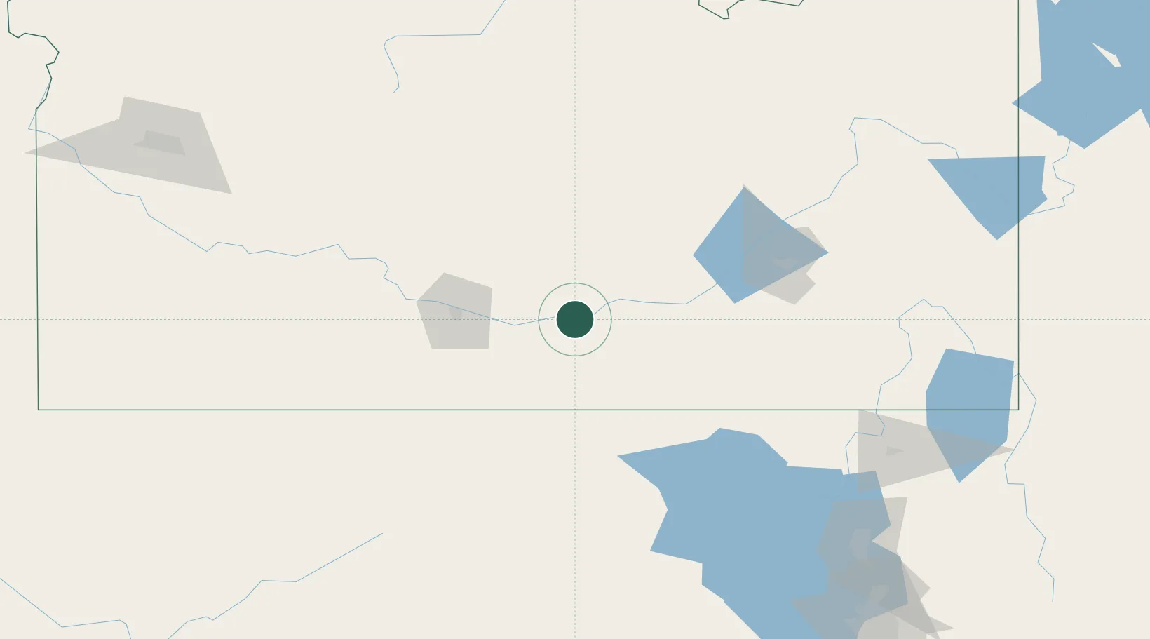
Heyburn
42.5500°, -113.7500°
3,223
Population
3
Transport functions
Transport Functions
Port
Road
Multimodal
Hub Profile
Place type
Populated place
Region
Idaho
Population
3,223
Time zone
America/Boise
Elevation
1,266 m
Location
Nearby Logistics Neighbours
Ports
- 1The Dalles683 km
- 2Sacramento789 km
- 3Courtland810 km
- 4Walnut Grove814 km
- 5Stockton819 km
Airports
Trade Zones
- 1FTZ No. 030 Salt Lake City245 km
- 2FTZ No. 280 Ada and Canyon Counties289 km
- 3FTZ No. 274 Butte-Silver Bow379 km
- 4FTZ No. 275 Lansing397 km
- 5FTZ No. 088 Great Falls580 km
DatabookThe Record of Consolidated Knowledge
United States beyond logistics?