UN/LOCODE hub · United States
USUCK

Chubbuck

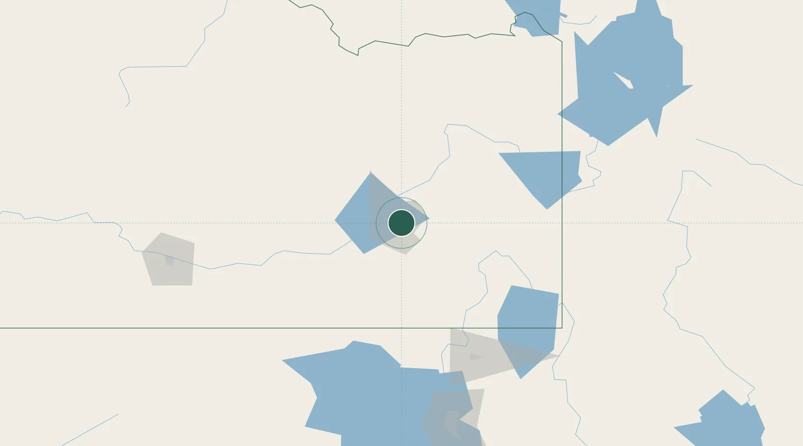
42.9167°, -112.4500°
14,428
Population
3
Transport functions

Transport Functions

Rail
Road
Multimodal
UN/LOCODE

Hub Profile

Place type
Populated place
GeoNames
Region
Idaho
GeoNames
Population
14,428
GeoNames
Time zone
America/Boise
GeoNames
Elevation
1,363 m
GeoNames

Location

Location of USUCK
Natural Earth 10m (public domain) · Idaho · USUCK · 42.92, -112.45GoogleOSMYandex

Nearby Logistics Neighbours

Cities
  1. 1Inkom22 km
  2. 2Aberdeen31 km
  3. 3Collins32 km
  4. 4Firth48 km
  5. 5Shelley57 km
Nearest neighbours — logibook spatial index (haversine) over the source coordinates
Ports
  1. 1The Dalles756 km
  2. 2Sacramento901 km
  3. 3Courtland922 km
  4. 4Walnut Grove925 km
  5. 5Stockton930 km
Nearest neighbours — logibook spatial index (haversine) over the source coordinates
Airports
  1. 1Pocatello Regional Airport12 km
  2. 2Idaho Falls Regional Airport73 km
  3. 3Burley Municipal Airport116 km
  4. 4Logan-Cache Airport134 km
  5. 5Jackson Hole Airport159 km
Nearest neighbours — logibook spatial index (haversine) over the source coordinates
Trade Zones
  1. 1FTZ No. 030 Salt Lake City241 km
  2. 2FTZ No. 274 Butte-Silver Bow334 km
  3. 3FTZ No. 275 Lansing344 km
  4. 4FTZ No. 280 Ada and Canyon Counties379 km
  5. 5FTZ No. 088 Great Falls516 km
Nearest neighbours — logibook spatial index (haversine) over the source coordinates
DatabookThe Record of Consolidated Knowledge
United States beyond logistics?
Browse databook

All Sources

LocationsUN/LOCODE
UN/LOCODE — free
LocationsGeoNames
CC BY 4.0
Portsthe NGA World Port Index
Public domain (US gov)
AirportsOurAirports
Public domain
Trade Zonesthe World Bank SEZ database
CC BY 4.0
Trade ZonesOpen Zone Map
CC BY
← United States locations