Seaport · United States
StocktonUSSCK
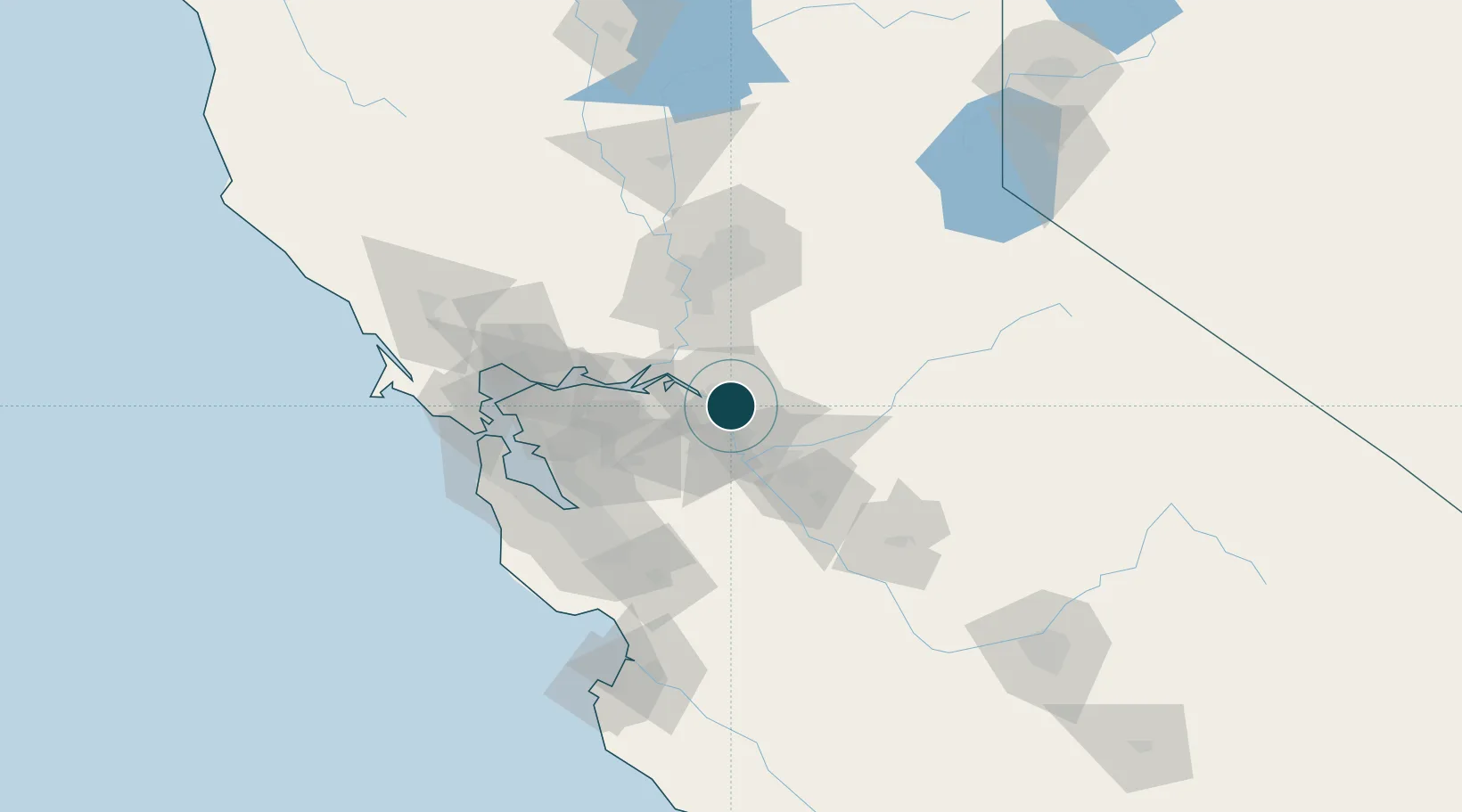
37.9500°, -121.3000°
7.9 m
Channel depth
13.5
Port liner connectivity
Channel & Berth Profile
Pilotage, Tugs & Services
Pilotage compulsoryYES
Pilotage availableYES
Tug assistanceYES
Shore powerYES
Potable waterYES
Diesel bunkersYES
MedicalYES
Garbage disposalYES
Facilities & Capabilities
Container—
Ro-Ro—
Liquid bulk—
Dry bulk—
Oil terminal—
Break bulk—
Dry dock—
RepairsNO
BunkeringYES
Rail linkYES
Dangerous cargo—
ISPS security—
Harbour Specifications
Harbour size
Small
Harbour type
River (Natural)
Shelter
Excellent
Water body
North Pacific Ocean
Tidal range
0.9 m
Overhead limit
Yes
Pilotage
Yes
Liner Connectivity
13.5
PLSCI
Port Liner Shipping Connectivity Index for Stockton, as published by UNCTAD for the latest available quarter. Higher values indicate stronger scheduled liner-shipping integration.
Shown relative to the highest per-port PLSCI in the dataset (1,657.9).
Location
Nearby Logistics Neighbours
Ports
- 1Isleton36 km
- 2Walnut Grove37 km
- 3Rio Vista42 km
- 4Antioch44 km
- 5Courtland49 km
Cities
- 1East Stockton5 km
- 2French Camp11 km
- 3Collegeville16 km
- 4Atlanta22 km
- 5Victor22 km
Airports
Trade Zones
- 1FTZ No. 231 Stockton2 km
- 2FTZ No. 143 West Sacramento73 km
- 3FTZ No. 018 San Jose85 km
- 4FTZ No. 056 Oakland87 km
- 5FTZ No. 003 San Francisco98 km
DatabookThe Record of Consolidated Knowledge
United States beyond logistics?