Transport Functions
Port
Rail
Road
Hub Profile
Place type
Populated place
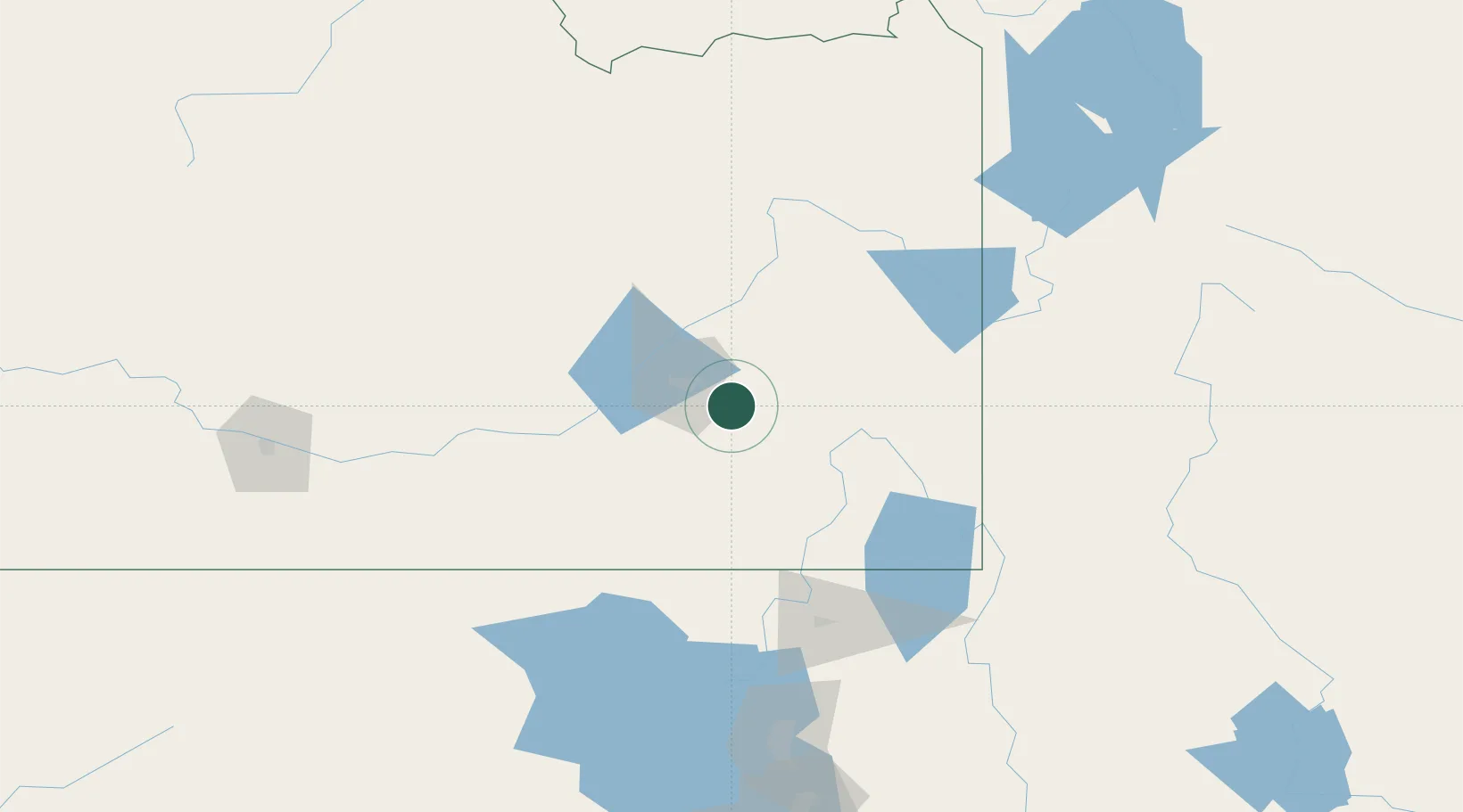
Region
Idaho
Population
870
Time zone
America/Boise
Elevation
1,385 m
Location
Nearby Logistics Neighbours
Cities
- 1Chubbuck22 km
- 2Collins47 km
- 3Aberdeen50 km
- 4Soda Springs55 km
- 5Firth58 km
Ports
- 1The Dalles778 km
- 2Sacramento908 km
- 3Courtland929 km
- 4Walnut Grove932 km
- 5Stockton936 km
Airports
- 1Pocatello Regional Airport32 km
- 2Idaho Falls Regional Airport83 km
- 3Logan-Cache Airport115 km
- 4Burley Municipal Airport127 km
- 5Jackson Hole Airport153 km
Trade Zones
- 1FTZ No. 030 Salt Lake City224 km
- 2FTZ No. 274 Butte-Silver Bow351 km
- 3FTZ No. 275 Lansing360 km
- 4FTZ No. 280 Ada and Canyon Counties399 km
- 5FTZ No. 088 Great Falls529 km
DatabookThe Record of Consolidated Knowledge
United States beyond logistics?