Transport Functions
Rail
Road
Hub Profile
Place type
Populated place
Region
Idaho
Population
112
Time zone
America/Boise
Elevation
1,305 m
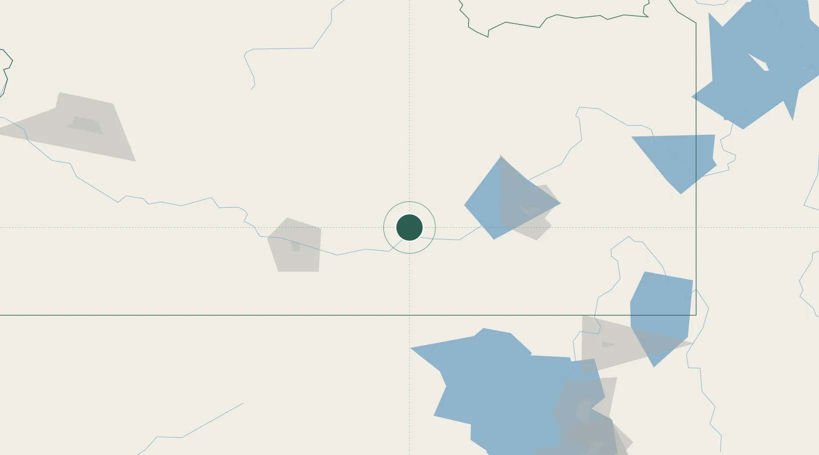
Location
Nearby Logistics Neighbours
Ports
- 1The Dalles689 km
- 2Sacramento818 km
- 3Courtland840 km
- 4Walnut Grove843 km
- 5Stockton849 km
Airports
Trade Zones
- 1FTZ No. 030 Salt Lake City253 km
- 2FTZ No. 280 Ada and Canyon Counties301 km
- 3FTZ No. 274 Butte-Silver Bow354 km
- 4FTZ No. 275 Lansing371 km
- 5FTZ No. 088 Great Falls553 km
DatabookThe Record of Consolidated Knowledge
United States beyond logistics?