UN/LOCODE hub · United States
USAPD
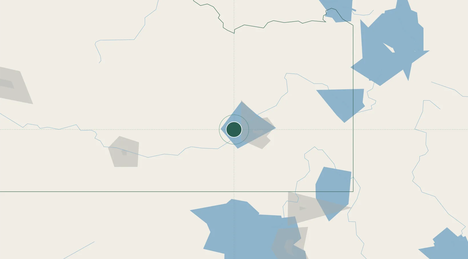
Aberdeen
42.9333°, -112.8333°
1,929
Population
2
Transport functions
Transport Functions
Rail
Road
Hub Profile
Place type
Populated place
Region
Idaho
Population
1,929
Time zone
America/Boise
Elevation
1,342 m
Location
Nearby Logistics Neighbours
Ports
- 1The Dalles728 km
- 2Sacramento875 km
- 3Courtland896 km
- 4Walnut Grove900 km
- 5Stockton905 km
Airports
Trade Zones
- 1FTZ No. 030 Salt Lake City250 km
- 2FTZ No. 274 Butte-Silver Bow331 km
- 3FTZ No. 275 Lansing343 km
- 4FTZ No. 280 Ada and Canyon Counties348 km
- 5FTZ No. 088 Great Falls520 km
DatabookThe Record of Consolidated Knowledge
United States beyond logistics?