Channel & Berth Profile
Pilotage, Tugs & Services
Pilotage compulsoryYES
Pilotage availableYES
Tug assistanceYES
Shore powerYES
Potable waterYES
Diesel bunkersYES
MedicalYES
Garbage disposalYES
Facilities & Capabilities
Container—
Ro-Ro—
Liquid bulk—
Dry bulk—
Oil terminal—
Break bulk—
Dry dock—
RepairsNO
BunkeringYES
Rail linkYES
Dangerous cargo—
ISPS security—
Harbour Specifications
Harbour size
Small
Harbour type
River (Natural)
Shelter
Excellent
Water body
North Pacific Ocean
Tidal range
0.6 m
Overhead limit
Yes
Pilotage
Yes
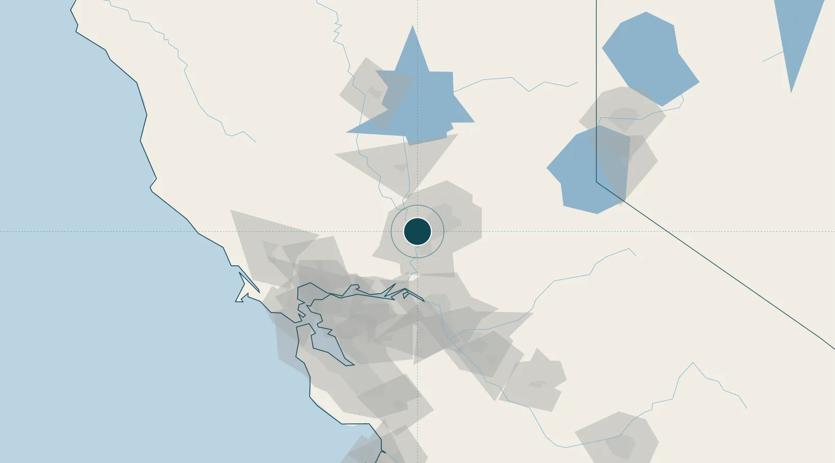
Location
Nearby Logistics Neighbours
Ports
- 1Courtland28 km
- 2Walnut Grove39 km
- 3Isleton47 km
- 4Rio Vista51 km
- 5Antioch68 km
Cities
- 1McClellan Air Force Base13 km
- 2Gold River20 km
- 3Pleasant Grove26 km
- 4Orangevale26 km
- 5Granite Bay35 km
Airports
Trade Zones
- 1FTZ No. 143 West Sacramento2 km
- 2FTZ No. 231 Stockton72 km
- 3FTZ No. 056 Oakland110 km
- 4FTZ No. 003 San Francisco117 km
- 5FTZ No. 018 San Jose143 km
DatabookThe Record of Consolidated Knowledge
United States beyond logistics?