Medium airport · United States
Friedman Memorial AirportKSUN
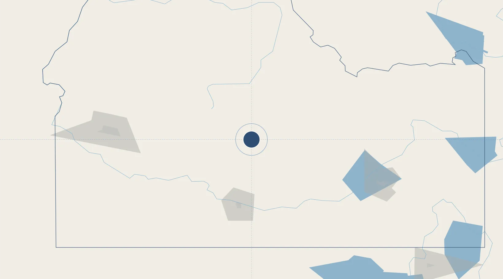
43.5044°, -114.2960°
7,550 ft
Longest runway
1
Runways
5,318 ft
Elevation
Runway & Layout

Radio Frequencies
ATIS
128.225 MHz
AWOS
128.225 MHz
TWR
125.6 MHz
HAILEY TWR
GND
121.7 MHz
CTAF
125.6 MHz
CNTR
118.05 MHz
SALT LAKE CITY CNTR
RDO
122.4 MHz
BOISE RDO
UNIC
122.95 MHz
UNICOM
Runways · 1
| Runway | Dimensions | Surface | True heading | Lit |
|---|---|---|---|---|
| 13/31 | 7,550 × 100ft | Asphalt | 145° | ✓ |
Airport Specifications
IATA code
SUN
ICAO code
KSUN
Airport class
Medium airport
Scheduled service
Yes
Runway surface
Asphalt
Served city
Hailey
Location
Nearby Logistics Neighbours
Airports
- 1Stanley Airport94 km
- 2Joslin Field Magic Valley Regional Airport115 km
- 3Burley Municipal Airport115 km
- 4Mountain Home Air Force Base138 km
- 5Pocatello Regional Airport153 km
Cities
- 1Ketchum19 km
- 2Richfield54 km
- 3Minidoka106 km
- 4Garden City111 km
- 5Heyburn115 km
Ports
- 1The Dalles593 km
- 2Washougal679 km
- 3Camas682 km
- 4Portland700 km
- 5Vancouver705 km
Trade Zones
- 1FTZ No. 280 Ada and Canyon Counties223 km
- 2FTZ No. 274 Butte-Silver Bow288 km
- 3FTZ No. 275 Lansing311 km
- 4FTZ No. 030 Salt Lake City358 km
- 5FTZ No. 088 Great Falls497 km
DatabookThe Record of Consolidated Knowledge
United States beyond logistics?