Medium airport · United States

Burley Municipal AirportKBYI

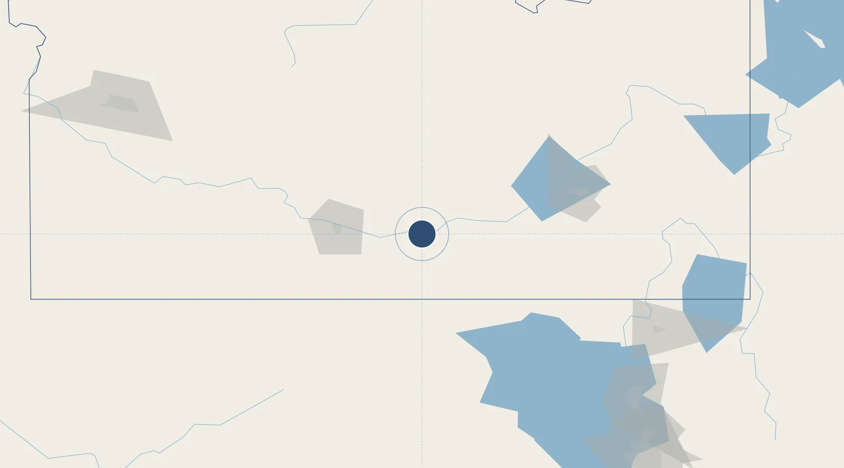
42.5426°, -113.7720°
4,092 ft
Longest runway
2
Runways
4,150 ft
Elevation

Runway & Layout

Burley Municipal Airport runway & taxiway layout
Runway & taxiway layout — OpenStreetMap (ODbL) / OurAirports

Radio Frequencies

ASOS
135.575 MHz
CTAF
122.9 MHz
A/D
126.7 MHz
TWIN FALLS APP/DEP
CNTR
118.05 MHz
SALT LAKE CITY CNTR
RDO
122.05 MHz
BOISE RDO
OurAirports

Navaids

BYI VOR-DME Burley 114.10 MHz
OurAirports

Runways · 2

RunwayDimensions SurfaceTrue headingLit
02/20 4,092 × 80ft Asphalt 037°
06/24 4,072 × 75ft Asphalt 079°
OurAirports

Airport Specifications

IATA code
BYI
OurAirports
ICAO code
KBYI
OurAirports
Airport class
Medium airport
OurAirports
Scheduled service
No
OurAirports
Runway surface
Asphalt
OurAirports
Served city
Burley
OurAirports

Location

Location of KBYI
Natural Earth 10m (public domain) · Idaho · KBYI · 42.54, -113.77GoogleOSMYandex

Nearby Logistics Neighbours

Airports
  1. 1Joslin Field Magic Valley Regional Airport59 km
  2. 2Pocatello Regional Airport104 km
  3. 3Friedman Memorial Airport115 km
  4. 4Idaho Falls Regional Airport176 km
  5. 5Logan-Cache Airport179 km
Nearest neighbours — logibook spatial index (haversine) over the source coordinates
Cities
  1. 1Heyburn2 km
  2. 2Minidoka32 km
  3. 3Richfield63 km
  4. 4Aberdeen88 km
  5. 5Chubbuck116 km
Nearest neighbours — logibook spatial index (haversine) over the source coordinates
Ports
  1. 1The Dalles682 km
  2. 2Sacramento787 km
  3. 3Courtland808 km
  4. 4Walnut Grove812 km
  5. 5Stockton817 km
Nearest neighbours — logibook spatial index (haversine) over the source coordinates
Trade Zones
  1. 1FTZ No. 030 Salt Lake City246 km
  2. 2FTZ No. 280 Ada and Canyon Counties288 km
  3. 3FTZ No. 274 Butte-Silver Bow380 km
  4. 4FTZ No. 275 Lansing398 km
  5. 5FTZ No. 088 Great Falls581 km
Nearest neighbours — logibook spatial index (haversine) over the source coordinates
DatabookThe Record of Consolidated Knowledge
United States beyond logistics?
Browse databook

All Sources

AirportsOurAirports
Public domain
Portsthe NGA World Port Index
Public domain (US gov)
LocationsUN/LOCODE
UN/LOCODE — free
Trade Zonesthe World Bank SEZ database
CC BY 4.0
Trade ZonesOpen Zone Map
CC BY
InfrastructureOpenStreetMap
ODbL 1.0
← United States airports