Foreign Trade Zone · United States

FTZ No. 280 Ada and Canyon Counties Active

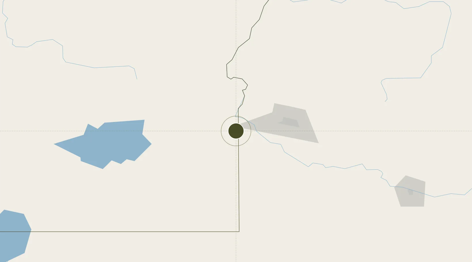
43.4949°, -117.0638°
401.6 km
Nearest port
58.5 km
Nearest airport

Gateway access

Nearest neighbours — logibook spatial index (haversine) over the source coordinates

Zone profile

Zone type
Foreign Trade Zone
Open Zone Map
Region
Oregon
Open Zone Map
Status
Active
Open Zone Map
Management
Public-Private Partnership
Open Zone Map
Operator
Southwest Idaho Manufacturers' Alliance
Open Zone Map
Legal framework
Foreign-Trade Zones Act
Open Zone Map

Location

Location of ozm-4968
Natural Earth 10m (public domain) · Oregon · ozm-4968 · 43.49, -117.06GoogleOSMYandex

Nearby Logistics Neighbours

Ports
  1. 1The Dalles402 km
  2. 2Washougal479 km
  3. 3Camas482 km
  4. 4Portland498 km
  5. 5Vancouver505 km
Nearest neighbours — logibook spatial index (haversine) over the source coordinates
Airports
  1. 1Ontario Municipal Airport59 km
  2. 2Boise Air Terminal/Gowen Field68 km
  3. 3Mountain Home Air Force Base109 km
  4. 4Burns Municipal Airport153 km
  5. 5Baker City Municipal Airport161 km
Nearest neighbours — logibook spatial index (haversine) over the source coordinates
Cities
  1. 1Sunnyslope25 km
  2. 2Driggs25 km
  3. 3Parma34 km
  4. 4Nyssa44 km
  5. 5Vale54 km
Nearest neighbours — logibook spatial index (haversine) over the source coordinates
Trade Zones
  1. 1FTZ No. 274 Butte-Silver Bow423 km
  2. 2FTZ No. 203 Moses Lake442 km
  3. 3FTZ No. 275 Lansing454 km
  4. 4FTZ No. 224 Spokane466 km
  5. 5FTZ No. 126 Sparks491 km
Nearest neighbours — logibook spatial index (haversine) over the source coordinates
DatabookThe Record of Consolidated Knowledge
United States beyond logistics?
Browse databook

All Sources

Trade ZonesOpen Zone Map
CC BY
Portsthe NGA World Port Index
Public domain (US gov)
AirportsOurAirports
Public domain
LocationsUN/LOCODE
UN/LOCODE — free
← United States trade zones