UN/LOCODE hub · United States
USRII

Richfield

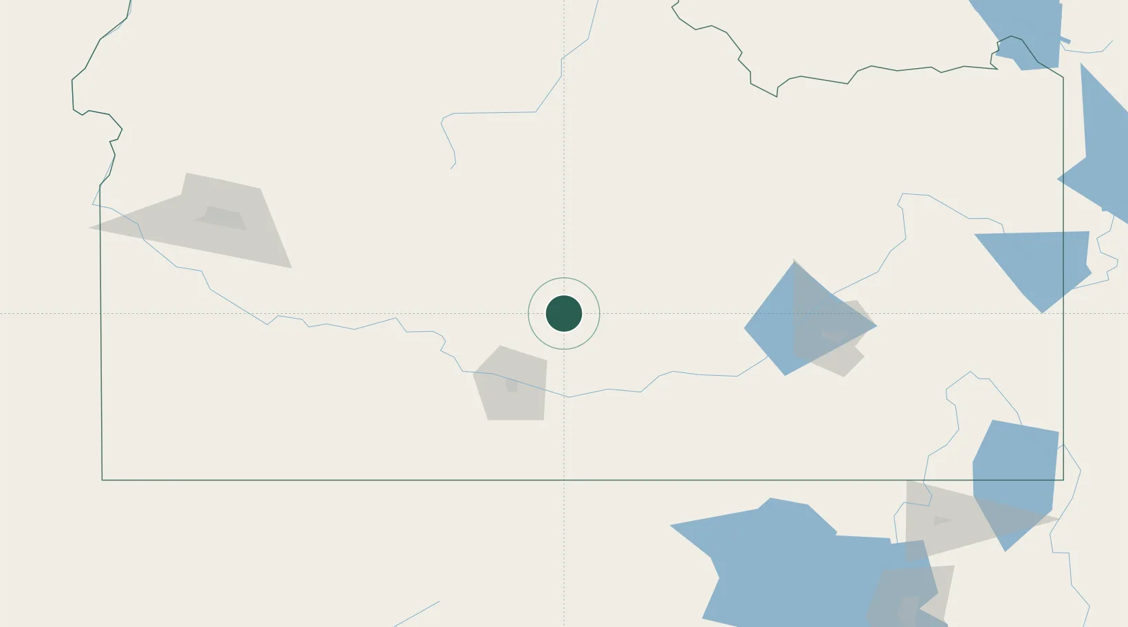
43.0333°, -114.1500°
486
Population
3
Transport functions

Transport Functions

Rail
Road
Multimodal
UN/LOCODE

Hub Profile

Place type
Populated place
GeoNames
Region
Idaho
GeoNames
Population
486
GeoNames
Time zone
America/Boise
GeoNames
Elevation
1,310 m
GeoNames

Location

Location of USRII
Natural Earth 10m (public domain) · Idaho · USRII · 43.03, -114.15GoogleOSMYandex

Nearby Logistics Neighbours

Cities
  1. 1Minidoka62 km
  2. 2Heyburn63 km
  3. 3Ketchum72 km
  4. 4Aberdeen108 km
  5. 5Chubbuck139 km
Nearest neighbours — logibook spatial index (haversine) over the source coordinates
Ports
  1. 1The Dalles628 km
  2. 2Washougal711 km
  3. 3Camas715 km
  4. 4Portland732 km
  5. 5Vancouver737 km
Nearest neighbours — logibook spatial index (haversine) over the source coordinates
Airports
  1. 1Friedman Memorial Airport54 km
  2. 2Burley Municipal Airport63 km
  3. 3Joslin Field Magic Valley Regional Airport67 km
  4. 4Pocatello Regional Airport127 km
  5. 5Mountain Home Air Force Base140 km
Nearest neighbours — logibook spatial index (haversine) over the source coordinates
Trade Zones
  1. 1FTZ No. 280 Ada and Canyon Counties241 km
  2. 2FTZ No. 030 Salt Lake City308 km
  3. 3FTZ No. 274 Butte-Silver Bow334 km
  4. 4FTZ No. 275 Lansing355 km
  5. 5FTZ No. 088 Great Falls540 km
Nearest neighbours — logibook spatial index (haversine) over the source coordinates
DatabookThe Record of Consolidated Knowledge
United States beyond logistics?
Browse databook

All Sources

LocationsUN/LOCODE
UN/LOCODE — free
LocationsGeoNames
CC BY 4.0
Portsthe NGA World Port Index
Public domain (US gov)
AirportsOurAirports
Public domain
Trade Zonesthe World Bank SEZ database
CC BY 4.0
Trade ZonesOpen Zone Map
CC BY
← United States locations