Medium airport · United States
Joslin Field Magic Valley Regional AirportKTWF
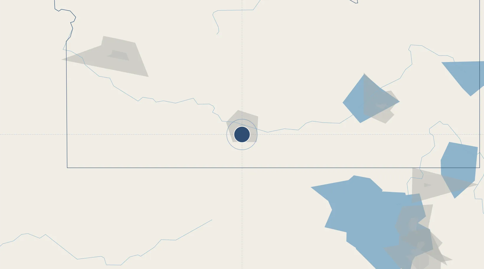
42.4818°, -114.4880°
8,704 ft
Longest runway
2
Runways
4,154 ft
Elevation
Runway & Layout

Radio Frequencies
ASOS
135.025 MHz
TWR
118.2 MHz
TWIN FALLS TWR
GND
121.7 MHz
TWIN FALLS GND
CTAF
118.2 MHz
A/D
126.7 MHz
TWIN FALLS APP/DEP
RDO
122.25 MHz
BOISE RDO
UNIC
122.95 MHz
UNICOM
Navaids
TW NDB Strik 389 kHz
TWF VORTAC Twin Falls 115.80 MHz
Runways · 2
| Runway | Dimensions | Surface | True heading | Lit |
|---|---|---|---|---|
| 08/26 | 8,704 × 150ft | Asphalt | 091° | ✓ |
| 12/30 | 3,224 × 75ft | Asphalt | 136° | — |
Airport Specifications
IATA code
TWF
ICAO code
KTWF
Airport class
Medium airport
Scheduled service
Yes
Runway surface
Asphalt
Served city
Twin Falls
Location
Nearby Logistics Neighbours
Airports
- 1Burley Municipal Airport59 km
- 2Friedman Memorial Airport115 km
- 3Mountain Home Air Force Base129 km
- 4Pocatello Regional Airport162 km
- 5Boise Air Terminal/Gowen Field185 km
Ports
- 1The Dalles637 km
- 2Washougal716 km
- 3Camas720 km
- 4Sacramento734 km
- 5Portland736 km
Trade Zones
- 1FTZ No. 280 Ada and Canyon Counties238 km
- 2FTZ No. 030 Salt Lake City281 km
- 3FTZ No. 274 Butte-Silver Bow401 km
- 4FTZ No. 275 Lansing422 km
- 5FTZ No. 126 Sparks549 km
DatabookThe Record of Consolidated Knowledge
United States beyond logistics?