Medium airport · United States
Idaho Falls Regional AirportKIDA
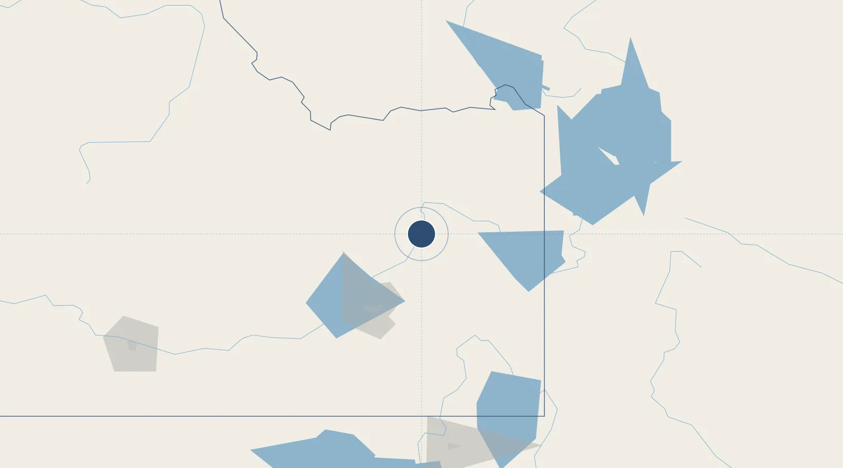
43.5146°, -112.0710°
9,002 ft
Longest runway
2
Runways
4,744 ft
Elevation
Runway & Layout

Radio Frequencies
ATIS
135.325 MHz
ASOS
135.325 MHz
TWR
118.5 MHz
GND
121.7 MHz
CTAF
118.5 MHz
CNTR
128.35 MHz
SALT LAKE CITY CNTR
RDO
122.55 MHz
BOISE RDO
UNIC
122.95 MHz
UNICOM
Navaids
ID NDB Uconn 324 kHz
IDA VOR-DME Idaho Falls 113.85 MHz
SWU NDB Sweden 350 kHz
Runways · 2
| Runway | Dimensions | Surface | True heading | Lit |
|---|---|---|---|---|
| 02/20 | 9,002 × 150ft | Asphalt | 038° | ✓ |
| 17/35 | 3,964 × 75ft | Asphalt | 182° | ✓ |
Airport Specifications
IATA code
IDA
ICAO code
KIDA
Airport class
Medium airport
Scheduled service
Yes
Runway surface
Asphalt
Served city
Idaho Falls
Location
Nearby Logistics Neighbours
Airports
- 1Pocatello Regional Airport80 km
- 2Jackson Hole Airport108 km
- 3Yellowstone Airport151 km
- 4Burley Municipal Airport176 km
- 5Friedman Memorial Airport179 km
Ports
- 1The Dalles758 km
- 2Sacramento961 km
- 3Courtland983 km
- 4Walnut Grove987 km
- 5Stockton993 km
Trade Zones
- 1FTZ No. 274 Butte-Silver Bow274 km
- 2FTZ No. 275 Lansing280 km
- 3FTZ No. 030 Salt Lake City305 km
- 4FTZ No. 280 Ada and Canyon Counties403 km
- 5FTZ No. 088 Great Falls446 km
DatabookThe Record of Consolidated Knowledge
United States beyond logistics?