Medium airport · United States

Pocatello Regional AirportKPIH

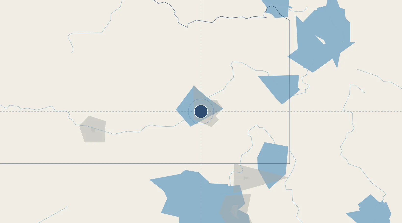
42.9098°, -112.5960°
9,059 ft
Longest runway
2
Runways
4,452 ft
Elevation

Runway & Layout

Pocatello Regional Airport runway & taxiway layout
Runway & taxiway layout — OpenStreetMap (ODbL) / OurAirports

Radio Frequencies

ASOS
135.625 MHz
TWR
119.1 MHz
GND
121.9 MHz
CLD
126.55 MHz
CLNC DEL
CTAF
119.1 MHz
CNTR
128.35 MHz
SALT LAKE CITY CNTR
FSS
122.35 MHz
BOISE RDO
RCO
122.35 MHz
BOISE RDO
UNIC
122.95 MHz
UNICOM
OurAirports

Navaids

PI NDB Tyhee 383 kHz
PIH VORTAC Pocatello 112.60 MHz
OurAirports

Runways · 2

RunwayDimensions SurfaceTrue headingLit
03/21 9,059 × 150ft Asphalt 045°
17/35 7,150 × 100ft Asphalt 180°
OurAirports

Airport Specifications

IATA code
PIH
OurAirports
ICAO code
KPIH
OurAirports
Airport class
Medium airport
OurAirports
Scheduled service
Yes
OurAirports
Runway surface
Asphalt
OurAirports
Served city
Pocatello
OurAirports

Location

Location of KPIH
Natural Earth 10m (public domain) · Idaho · KPIH · 42.91, -112.60GoogleOSMYandex

Nearby Logistics Neighbours

Airports
  1. 1Idaho Falls Regional Airport80 km
  2. 2Burley Municipal Airport104 km
  3. 3Logan-Cache Airport139 km
  4. 4Friedman Memorial Airport153 km
  5. 5Joslin Field Magic Valley Regional Airport162 km
Nearest neighbours — logibook spatial index (haversine) over the source coordinates
Cities
  1. 1Chubbuck12 km
  2. 2Aberdeen20 km
  3. 3Inkom32 km
  4. 4Collins37 km
  5. 5Firth55 km
Nearest neighbours — logibook spatial index (haversine) over the source coordinates
Ports
  1. 1The Dalles746 km
  2. 2Sacramento890 km
  3. 3Courtland911 km
  4. 4Walnut Grove915 km
  5. 5Stockton920 km
Nearest neighbours — logibook spatial index (haversine) over the source coordinates
Trade Zones
  1. 1FTZ No. 030 Salt Lake City242 km
  2. 2FTZ No. 274 Butte-Silver Bow334 km
  3. 3FTZ No. 275 Lansing345 km
  4. 4FTZ No. 280 Ada and Canyon Counties368 km
  5. 5FTZ No. 088 Great Falls519 km
Nearest neighbours — logibook spatial index (haversine) over the source coordinates
DatabookThe Record of Consolidated Knowledge
United States beyond logistics?
Browse databook

All Sources

AirportsOurAirports
Public domain
Portsthe NGA World Port Index
Public domain (US gov)
LocationsUN/LOCODE
UN/LOCODE — free
Trade Zonesthe World Bank SEZ database
CC BY 4.0
Trade ZonesOpen Zone Map
CC BY
InfrastructureOpenStreetMap
ODbL 1.0
← United States airports