Medium airport · United States
McCall Municipal AirportKMYL
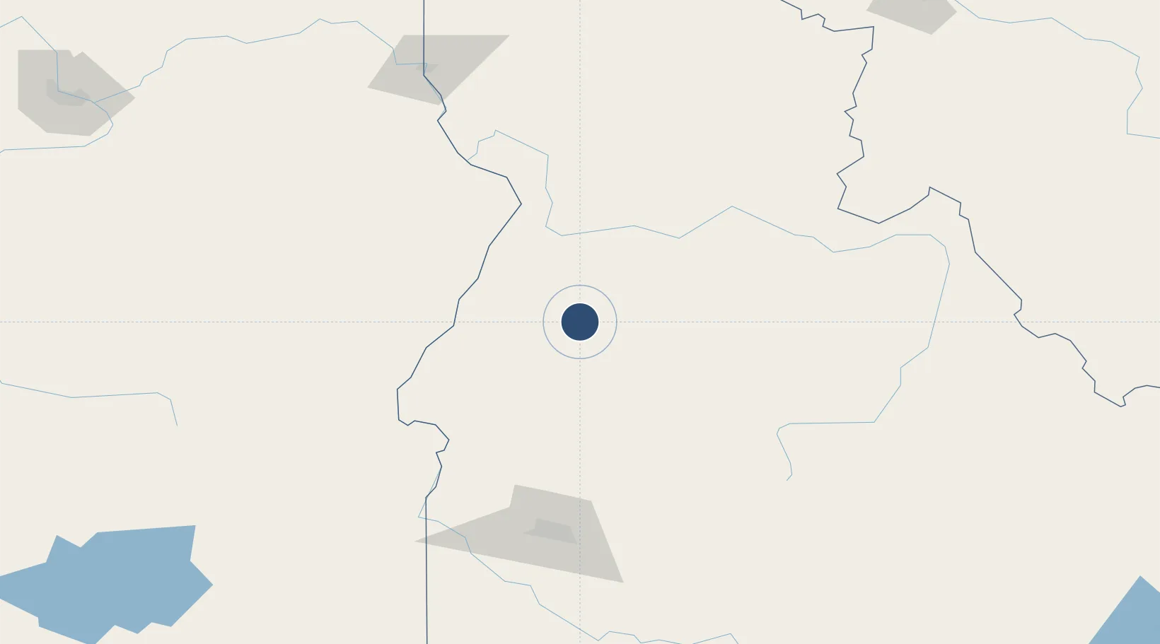
44.8888°, -116.1011°
6,101 ft
Longest runway
1
Runways
5,024 ft
Elevation
Runway & Layout

Radio Frequencies
ASOS
119.925 MHz
CNTR
128.05 MHz
SALT LAKE CITY CNTR
RDO
122.35 MHz
BOISE RDO
UNIC
122.8 MHz
CTAF/UNICOM
Runways · 1
| Runway | Dimensions | Surface | True heading | Lit |
|---|---|---|---|---|
| 16/34 | 6,101 × 75ft | Asphalt | 179° | ✓ |
Airport Specifications
IATA code
MYL
ICAO code
KMYL
Airport class
Medium airport
Scheduled service
Yes
Runway surface
Asphalt
Served city
McCall
Location
Nearby Logistics Neighbours
Airports
- 1Stanley Airport119 km
- 2Ontario Municipal Airport121 km
- 3Baker City Municipal Airport135 km
- 4Boise Air Terminal/Gowen Field148 km
- 5Lewiston Nez Perce County Airport180 km
Cities
- 1Donnelly17 km
- 2Richland87 km
- 3Orogrande100 km
- 4New Plymouth117 km
- 5Nyssa133 km
Ports
- 1The Dalles406 km
- 2Washougal495 km
- 3Camas499 km
- 4Portland519 km
- 5Vancouver522 km
Trade Zones
- 1FTZ No. 280 Ada and Canyon Counties173 km
- 2FTZ No. 274 Butte-Silver Bow273 km
- 3FTZ No. 275 Lansing305 km
- 4FTZ No. 224 Spokane327 km
- 5FTZ No. 203 Moses Lake353 km
DatabookThe Record of Consolidated Knowledge
United States beyond logistics?