Transport Functions
Road
Multimodal
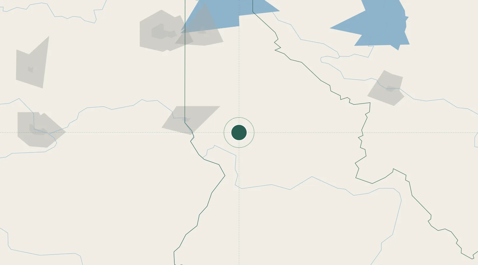
Hub Profile
Place type
Provincial seat
Region
Idaho
Population
468
Time zone
America/Los_Angeles
Elevation
980 m
Location
Nearby Logistics Neighbours
Ports
- 1The Dalles388 km
- 2Washougal477 km
- 3Camas481 km
- 4Tacoma484 km
- 5Seattle486 km
Airports
Trade Zones
- 1FTZ No. 224 Spokane185 km
- 2FTZ No. 203 Moses Lake256 km
- 3FTZ No. 274 Butte-Silver Bow260 km
- 4FTZ No. 242 Boundary County283 km
- 5FTZ No. 275 Lansing287 km
DatabookThe Record of Consolidated Knowledge
United States beyond logistics?