Transport Functions
Rail
Road
Border Crossing
Hub Profile
Place type
Locality
Region
British Columbia
Time zone
America/Edmonton
Elevation
873 m
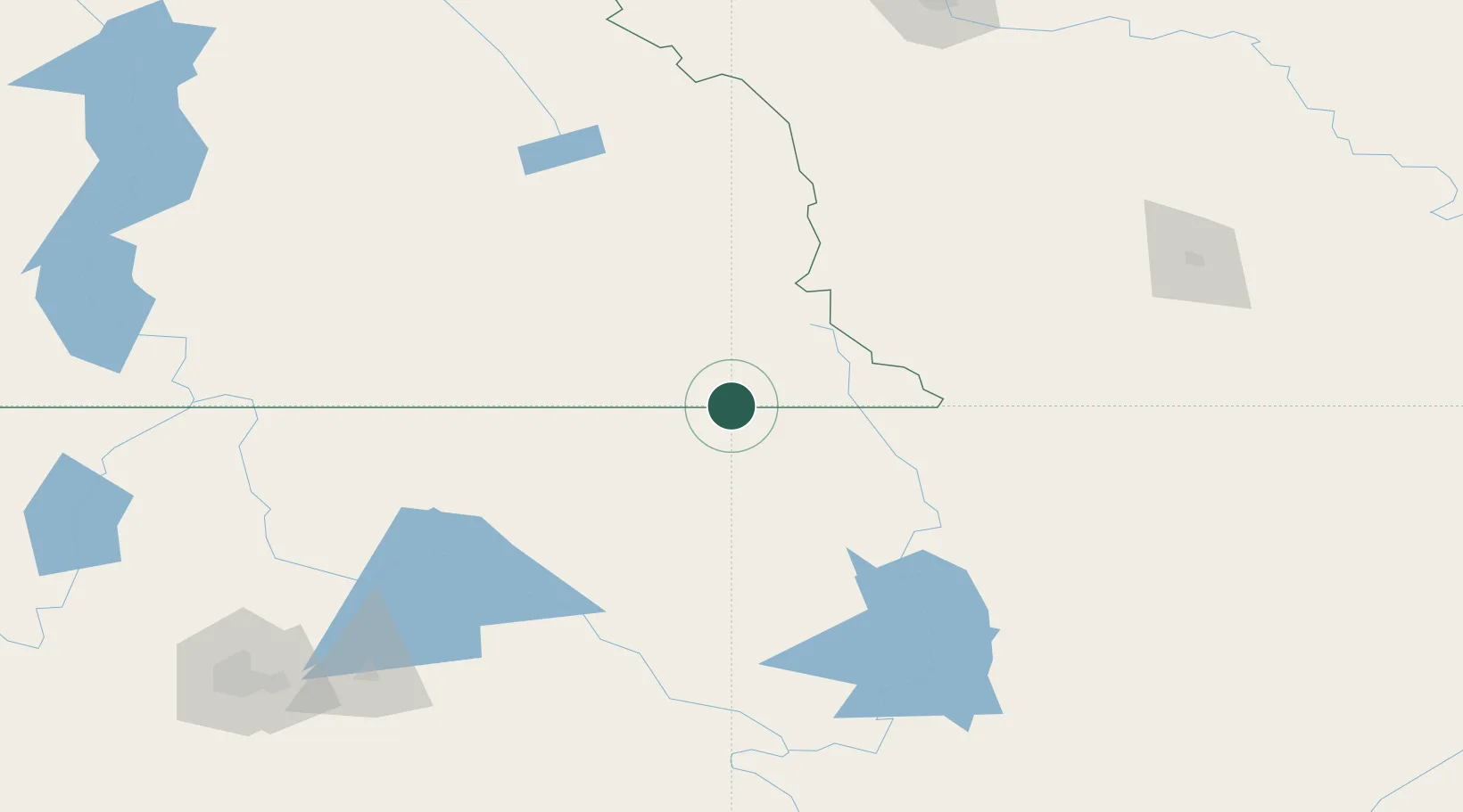
Location
Nearby Logistics Neighbours
Cities
- 1Roosville0 km
- 2Rexford14 km
- 3Fernie58 km
- 4Bull River60 km
- 5Kingsgate83 km
Ports
- 1Mission City525 km
- 2Everett539 km
- 3Bellingham545 km
- 4Mukilteo547 km
- 5Anacortes557 km
Airports
Trade Zones
- 1FTZ No. 242 Boundary County132 km
- 2FTZ No. 187 Toole County207 km
- 3FTZ No. 224 Spokane233 km
- 4Calgary Region Inland Port239 km
- 5FTZ No. 088 Great Falls315 km
DatabookThe Record of Consolidated Knowledge
Canada beyond logistics?