Transport Functions
Road
Multimodal
Hub Profile
Place type
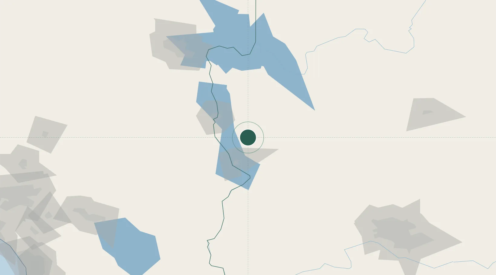
Populated place
Region
Arizona
Population
126
Time zone
America/Phoenix
Elevation
556 m
Location
Nearby Logistics Neighbours
Cities
- 1Griffith22 km
- 2Fort Mohave46 km
- 3Seligman127 km
- 4Cadiz131 km
- 5Quartzsite134 km
Ports
- 1San Diego368 km
- 2Newport Beach372 km
- 3Rosarito390 km
- 4Long Beach390 km
- 5Los Angeles397 km
Airports
- 1Lake Havasu City Airport38 km
- 2Needles Airport45 km
- 3Kingman Airport48 km
- 4Laughlin Bullhead International Airport49 km
- 5Boulder City Municipal Airport136 km
Trade Zones
- 1FTZ No. 170 Clark County212 km
- 2FTZ No. 089 Clark County212 km
- 3FTZ No. 277 Western Maricopa County228 km
- 4FTZ No. 219 Yuma244 km
- 5FTZ No. 236 Palm Springs246 km
DatabookThe Record of Consolidated Knowledge
United States beyond logistics?