UN/LOCODE hub · United States
USF7M

Fort Mohave

35.0333°, -114.6167°
1
Transport functions

Transport Functions

Multimodal
UN/LOCODE

Hub Profile

Region
AZ
GeoNames

Location

Location of USF7M
Natural Earth 10m (public domain) · AZ · USF7M · 35.03, -114.62GoogleOSMYandex

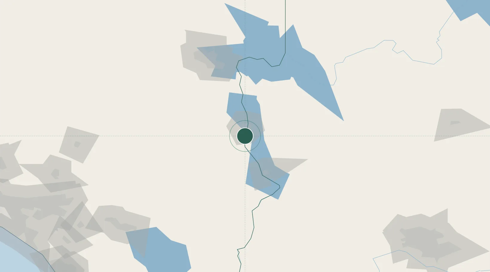
Nearby Logistics Neighbours

Cities
  1. 1Griffith46 km
  2. 2Yucca46 km
  3. 3Primm94 km
  4. 4Cadiz100 km
  5. 5Jean105 km
Nearest neighbours — logibook spatial index (haversine) over the source coordinates
Ports
  1. 1Newport Beach340 km
  2. 2San Diego350 km
  3. 3Long Beach356 km
  4. 4Los Angeles363 km
  5. 5El Segundo371 km
Nearest neighbours — logibook spatial index (haversine) over the source coordinates
Airports
  1. 1Laughlin Bullhead International Airport15 km
  2. 2Needles Airport30 km
  3. 3Lake Havasu City Airport57 km
  4. 4Kingman Airport67 km
  5. 5Boulder City Municipal Airport104 km
Nearest neighbours — logibook spatial index (haversine) over the source coordinates
Trade Zones
  1. 1FTZ No. 170 Clark County166 km
  2. 2FTZ No. 089 Clark County166 km
  3. 3FTZ No. 236 Palm Springs220 km
  4. 4FTZ No. 243 Victorville257 km
  5. 5FTZ No. 219 Yuma259 km
Nearest neighbours — logibook spatial index (haversine) over the source coordinates
DatabookThe Record of Consolidated Knowledge
United States beyond logistics?
Browse databook

All Sources

LocationsUN/LOCODE
UN/LOCODE — free
Portsthe NGA World Port Index
Public domain (US gov)
AirportsOurAirports
Public domain
Trade Zonesthe World Bank SEZ database
CC BY 4.0
Trade ZonesOpen Zone Map
CC BY
← United States locations