Medium airport · United States

Kingman AirportKIGM

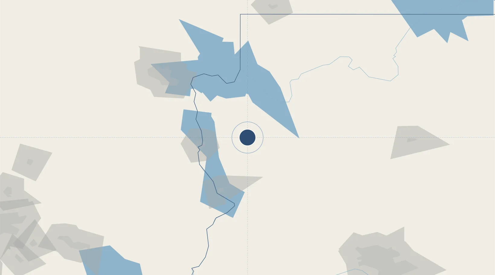
35.2595°, -113.9380°
6,827 ft
Longest runway
2
Runways
3,449 ft
Elevation

Runway & Layout

Kingman Airport runway & taxiway layout
Runway & taxiway layout — OpenStreetMap (ODbL) / OurAirports

Radio Frequencies

ASOS
119.275 MHz
RDO
108.8 MHz
PRESCOTT RDO
UNIC
122.8 MHz
CTAF/UNICOM
OurAirports

Runways · 2

RunwayDimensions SurfaceTrue headingLit
03/21 6,827 × 150ft Asphalt 045°
17/35 6,725 × 75ft Asphalt 180°
OurAirports

Airport Specifications

IATA code
IGM
OurAirports
ICAO code
KIGM
OurAirports
Airport class
Medium airport
OurAirports
Scheduled service
No
OurAirports
Runway surface
Asphalt
OurAirports
Served city
Kingman
OurAirports

Location

Location of KIGM
Natural Earth 10m (public domain) · Arizona · KIGM · 35.26, -113.94GoogleOSMYandex

Nearby Logistics Neighbours

Airports
  1. 1Laughlin Bullhead International Airport58 km
  2. 2Needles Airport83 km
  3. 3Lake Havasu City Airport86 km
  4. 4Boulder City Municipal Airport113 km
  5. 5Harry Reid International Airport143 km
Nearest neighbours — logibook spatial index (haversine) over the source coordinates
Cities
  1. 1Griffith27 km
  2. 2Yucca48 km
  3. 3Fort Mohave67 km
  4. 4Seligman97 km
  5. 5Primm136 km
Nearest neighbours — logibook spatial index (haversine) over the source coordinates
Ports
  1. 1Newport Beach407 km
  2. 2San Diego412 km
  3. 3Long Beach423 km
  4. 4Los Angeles429 km
  5. 5Rosarito435 km
Nearest neighbours — logibook spatial index (haversine) over the source coordinates
Trade Zones
  1. 1FTZ No. 170 Clark County208 km
  2. 2FTZ No. 089 Clark County208 km
  3. 3FTZ No. 277 Western Maricopa County246 km
  4. 4FTZ No. 075 Phoenix264 km
  5. 5FTZ No. 221 Mesa282 km
Nearest neighbours — logibook spatial index (haversine) over the source coordinates
DatabookThe Record of Consolidated Knowledge
United States beyond logistics?
Browse databook

All Sources

AirportsOurAirports
Public domain
Portsthe NGA World Port Index
Public domain (US gov)
LocationsUN/LOCODE
UN/LOCODE — free
Trade Zonesthe World Bank SEZ database
CC BY 4.0
Trade ZonesOpen Zone Map
CC BY
InfrastructureOpenStreetMap
ODbL 1.0
← United States airports