Medium airport · United States
Laughlin Bullhead International AirportKIFP
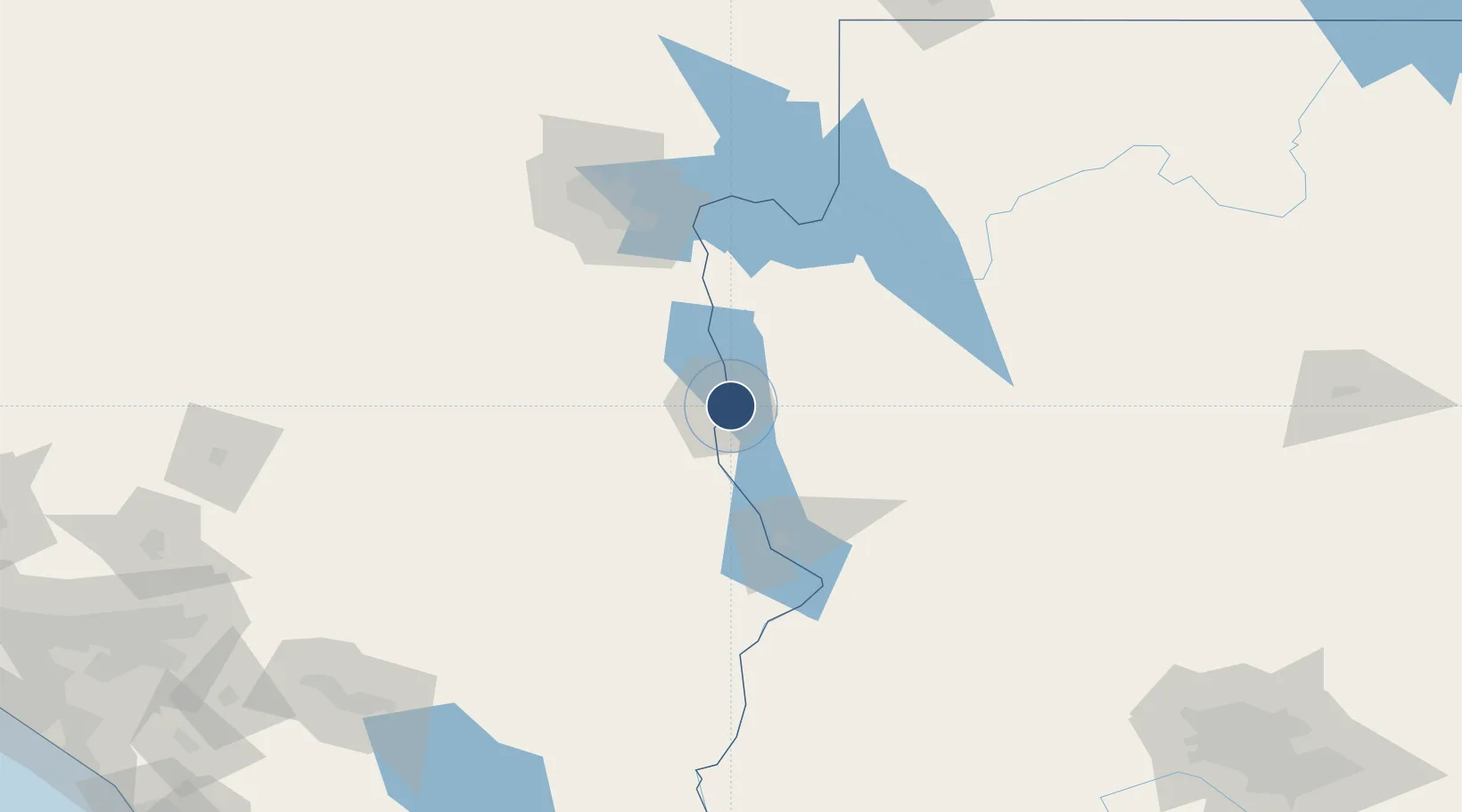
35.1547°, -114.5593°
8,501 ft
Longest runway
1
Runways
701 ft
Elevation
Runway & Layout

Radio Frequencies
TWR
123.9 MHz
BULLHEAD TWR
GND
118.25 MHz
CLD
118.25 MHz
LA CNTR CLNC DEL
CTAF
123.9 MHz
CNTR
134.65 MHz
LOS ANGELES CNTR
Runways · 1
| Runway | Dimensions | Surface | True heading | Lit |
|---|---|---|---|---|
| 16/34 | 8,501 × 150ft | Asphalt | 176° | ✓ |
Airport Specifications
IATA code
IFP
ICAO code
KIFP
Airport class
Medium airport
Scheduled service
No
Runway surface
Asphalt
Served city
Bullhead City
Location
Nearby Logistics Neighbours
Airports
- 1Needles Airport44 km
- 2Kingman Airport58 km
- 3Lake Havasu City Airport68 km
- 4Boulder City Municipal Airport92 km
- 5Harry Reid International Airport116 km
Cities
- 1Fort Mohave15 km
- 2Griffith41 km
- 3Yucca49 km
- 4Primm90 km
- 5Jean98 km
Ports
- 1Newport Beach351 km
- 2San Diego363 km
- 3Long Beach366 km
- 4Los Angeles373 km
- 5El Segundo381 km
Trade Zones
- 1FTZ No. 170 Clark County163 km
- 2FTZ No. 089 Clark County163 km
- 3FTZ No. 236 Palm Springs232 km
- 4FTZ No. 243 Victorville264 km
- 5FTZ No. 219 Yuma273 km
DatabookThe Record of Consolidated Knowledge
United States beyond logistics?