Transport Functions
Road
Multimodal
Hub Profile
Place type
Populated place
Region
Arizona
Time zone
America/Phoenix
Elevation
799 m
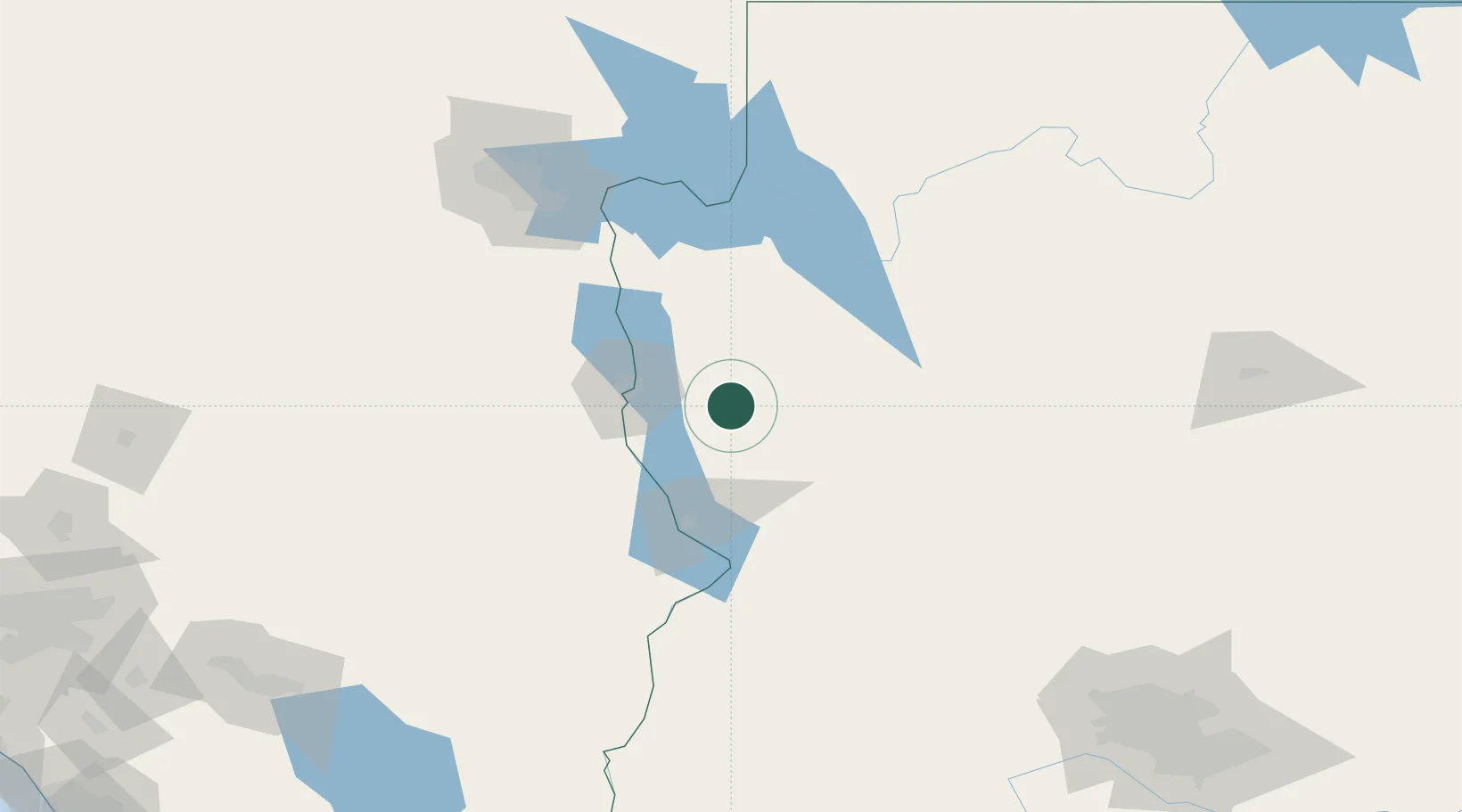
Location
Nearby Logistics Neighbours
Cities
- 1Yucca22 km
- 2Fort Mohave46 km
- 3Seligman117 km
- 4Primm129 km
- 5Jean135 km
Ports
- 1Newport Beach383 km
- 2San Diego385 km
- 3Long Beach400 km
- 4Los Angeles406 km
- 5Rosarito408 km
Airports
- 1Kingman Airport27 km
- 2Laughlin Bullhead International Airport41 km
- 3Needles Airport57 km
- 4Lake Havasu City Airport59 km
- 5Boulder City Municipal Airport119 km
Trade Zones
- 1FTZ No. 170 Clark County203 km
- 2FTZ No. 089 Clark County203 km
- 3FTZ No. 277 Western Maricopa County241 km
- 4FTZ No. 236 Palm Springs259 km
- 5FTZ No. 075 Phoenix260 km
DatabookThe Record of Consolidated Knowledge
United States beyond logistics?