Medium airport · United States
Needles AirportKEED
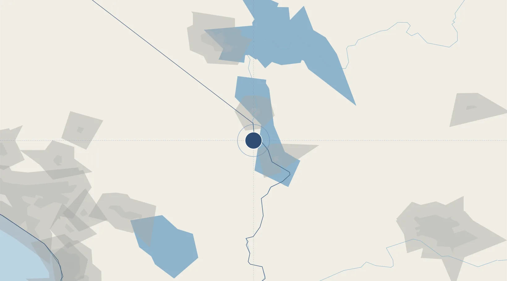
34.7663°, -114.6230°
5,005 ft
Longest runway
2
Runways
983 ft
Elevation
Runway & Layout

Radio Frequencies
ASOS
128.325 MHz
A/D
134.65 MHz
LOS ANGELES CNTR
RDO
115.2 MHz
PRESCOTT RDO
UNIC
123 MHz
CTAF/UNICOM
Runways · 2
| Runway | Dimensions | Surface | True heading | Lit |
|---|---|---|---|---|
| 11/29 | 5,005 × 100ft | Asphalt | 119° | ✓ |
| 02/20 | 4,235 × 100ft | Asphalt | 029° | ✓ |
Airport Specifications
IATA code
EED
ICAO code
KEED
Airport class
Medium airport
Scheduled service
No
Runway surface
Asphalt
Served city
Needles
Location
Nearby Logistics Neighbours
Airports
- 1Lake Havasu City Airport33 km
- 2Laughlin Bullhead International Airport44 km
- 3Kingman Airport83 km
- 4Blythe Airport128 km
- 5Boulder City Municipal Airport133 km
Cities
- 1Fort Mohave30 km
- 2Yucca45 km
- 3Griffith57 km
- 4Cadiz86 km
- 5Amboy104 km
Ports
- 1Newport Beach327 km
- 2San Diego329 km
- 3Long Beach346 km
- 4Rosarito352 km
- 5Los Angeles352 km
Trade Zones
- 1FTZ No. 170 Clark County185 km
- 2FTZ No. 089 Clark County185 km
- 3FTZ No. 236 Palm Springs203 km
- 4FTZ No. 219 Yuma229 km
- 5FTZ No. 257 Imperial County238 km
DatabookThe Record of Consolidated Knowledge
United States beyond logistics?