UN/LOCODE hub · United States
USS66

Seligman

35.3167°, -112.8667°
445
Population
3
Transport functions

Transport Functions

Rail
Road
Airport
UN/LOCODE

Hub Profile

Place type
Populated place
GeoNames
Region
Arizona
GeoNames
Population
445
GeoNames
Time zone
America/Phoenix
GeoNames
Elevation
1,598 m
GeoNames

Location

Location of USS66
Natural Earth 10m (public domain) · Arizona · USS66 · 35.32, -112.87GoogleOSMYandex

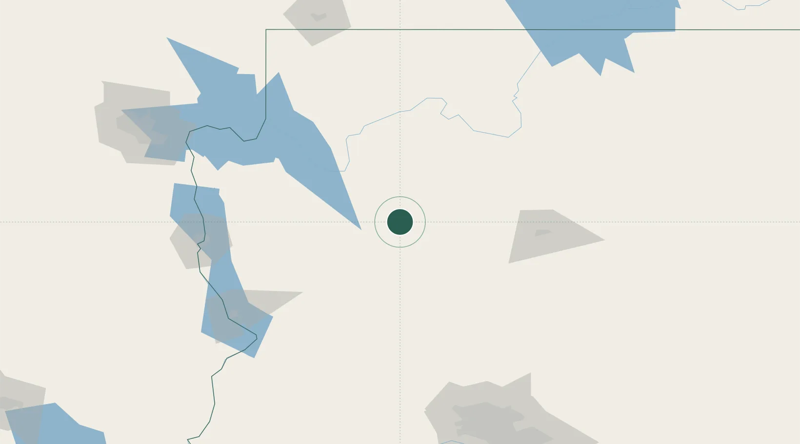
Nearby Logistics Neighbours

Cities
  1. 1Drake60 km
  2. 2Parks83 km
  3. 3Bellemont94 km
  4. 4Humboldt108 km
  5. 5Cornville109 km
Nearest neighbours — logibook spatial index (haversine) over the source coordinates
Ports
  1. 1San Diego492 km
  2. 2Newport Beach499 km
  3. 3Rosarito510 km
  4. 4Long Beach517 km
  5. 5Ensenada519 km
Nearest neighbours — logibook spatial index (haversine) over the source coordinates
Airports
  1. 1Prescott Regional Airport - Ernest A. Love Field84 km
  2. 2Grand Canyon National Park Airport96 km
  3. 3Kingman Airport97 km
  4. 4Flagstaff Pulliam Airport111 km
  5. 5Laughlin Bullhead International Airport155 km
Nearest neighbours — logibook spatial index (haversine) over the source coordinates
Trade Zones
  1. 1FTZ No. 277 Western Maricopa County206 km
  2. 2FTZ No. 075 Phoenix220 km
  3. 3FTZ No. 221 Mesa232 km
  4. 4FTZ No. 170 Clark County299 km
  5. 5FTZ No. 089 Clark County299 km
Nearest neighbours — logibook spatial index (haversine) over the source coordinates
DatabookThe Record of Consolidated Knowledge
United States beyond logistics?
Browse databook

All Sources

LocationsUN/LOCODE
UN/LOCODE — free
LocationsGeoNames
CC BY 4.0
Portsthe NGA World Port Index
Public domain (US gov)
AirportsOurAirports
Public domain
Trade Zonesthe World Bank SEZ database
CC BY 4.0
Trade ZonesOpen Zone Map
CC BY
← United States locations