Medium airport · United States

Boulder City Municipal AirportK61B

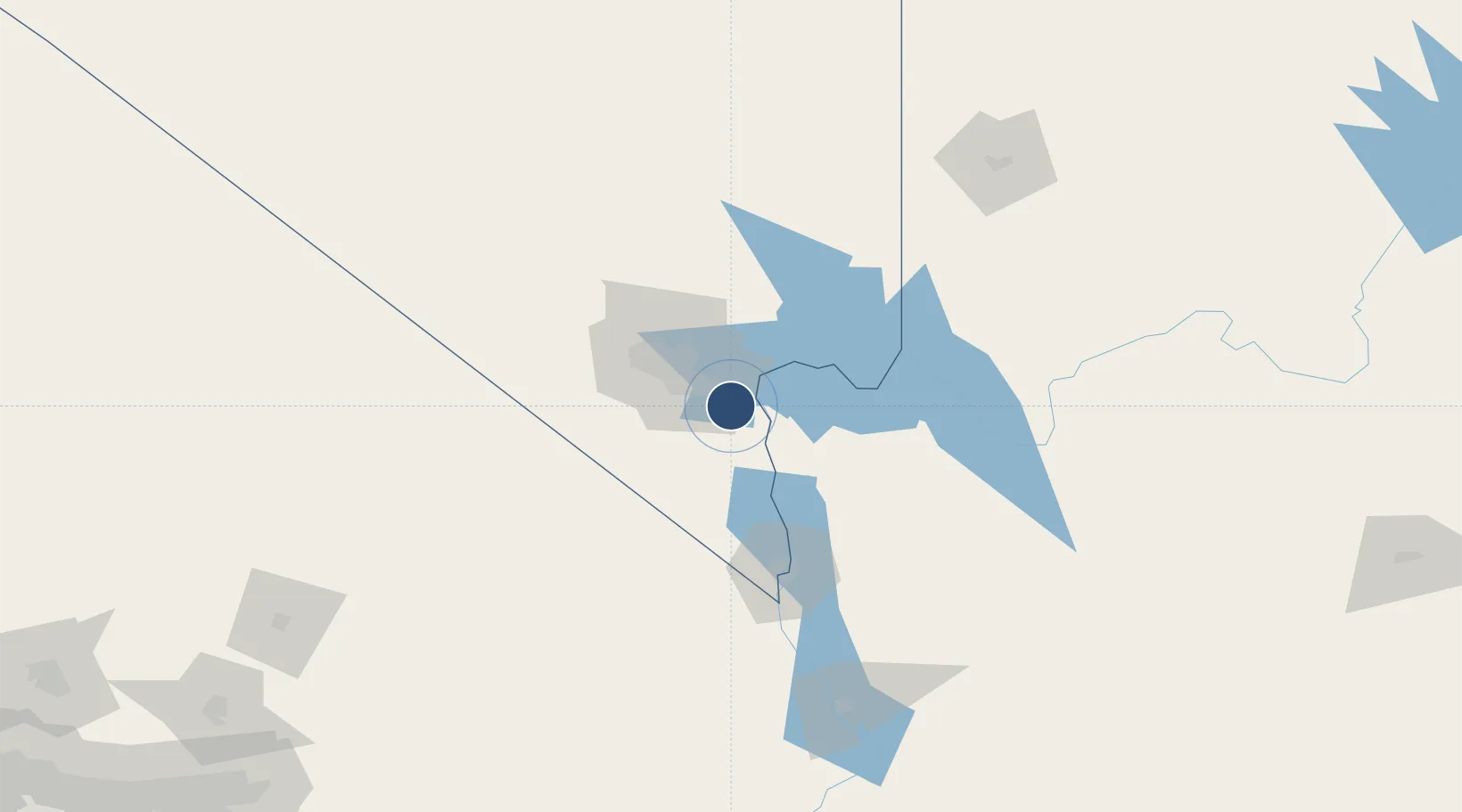
35.9472°, -114.8588°
5,103 ft
Longest runway
2
Runways
2,201 ft
Elevation

Runway & Layout

Boulder City Municipal Airport runway & taxiway layout
Runway & taxiway layout — OpenStreetMap (ODbL) / OurAirports

Radio Frequencies

UNIC
122.7 MHz
CTAF/UNICOM
OurAirports

Runways · 2

RunwayDimensions SurfaceTrue headingLit
09/27 5,103 × 75ft Asphalt 104°
15/33 3,852 × 75ft Asphalt 165°
OurAirports

Airport Specifications

IATA code
BLD
OurAirports
ICAO code
KBVU
OurAirports
Airport class
Medium airport
OurAirports
Scheduled service
Yes
OurAirports
Runway surface
Asphalt
OurAirports
Served city
Boulder City
OurAirports

Location

Location of K61B
Natural Earth 10m (public domain) · Nevada · K61B · 35.95, -114.86GoogleOSMYandex

Nearby Logistics Neighbours

Airports
  1. 1Harry Reid International Airport30 km
  2. 2Nellis Air Force Base36 km
  3. 3North Las Vegas Airport42 km
  4. 4Laughlin Bullhead International Airport92 km
  5. 5Kingman Airport113 km
Nearest neighbours — logibook spatial index (haversine) over the source coordinates
Cities
  1. 1Las Vegas34 km
  2. 2Nellis Air Force Base36 km
  3. 3North Las Vegas40 km
  4. 4Jean45 km
  5. 5Primm61 km
Nearest neighbours — logibook spatial index (haversine) over the source coordinates
Ports
  1. 1Newport Beach380 km
  2. 2Long Beach388 km
  3. 3Los Angeles394 km
  4. 4El Segundo396 km
  5. 5San Diego418 km
Nearest neighbours — logibook spatial index (haversine) over the source coordinates
Trade Zones
  1. 1FTZ No. 170 Clark County111 km
  2. 2FTZ No. 089 Clark County111 km
  3. 3FTZ No. 243 Victorville274 km
  4. 4FTZ No. 236 Palm Springs280 km
  5. 5FTZ No. 244 Riverside County317 km
Nearest neighbours — logibook spatial index (haversine) over the source coordinates
DatabookThe Record of Consolidated Knowledge
United States beyond logistics?
Browse databook

All Sources

AirportsOurAirports
Public domain
Portsthe NGA World Port Index
Public domain (US gov)
LocationsUN/LOCODE
UN/LOCODE — free
Trade Zonesthe World Bank SEZ database
CC BY 4.0
Trade ZonesOpen Zone Map
CC BY
InfrastructureOpenStreetMap
ODbL 1.0
← United States airports